Maps, Artifacts, Prints
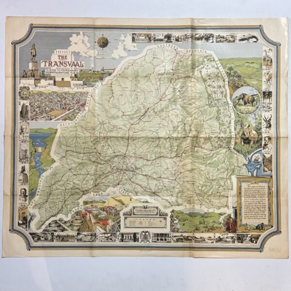
The Transvaal – A Guide to its Pleasure Resorts & Historic Places –
A detailed, pictorial map of the Transvaal with numerous insets and a decorative border. Lithographed in colour. There is a key- legend for Railway System, National Road, Other Roads, Height in Feet, Cities, Main Towns, Secondary Towns and Locations. Condition: Very good. Fold-lines witha touch of splitting to the edges outside the margins. Publisher: Art…
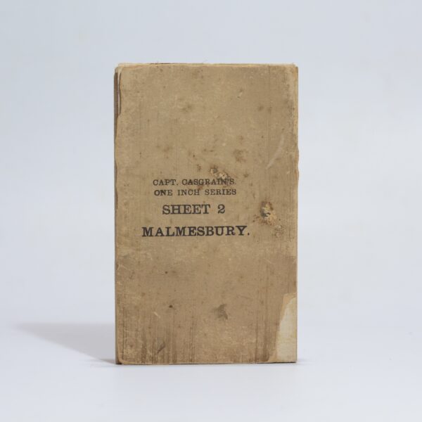
Map of the Malmesbury District. Sheet 2 of the One Inch Series. – Casgrain, Capt.
Surveyed by the Royal Engineers under the supervision of Captain Casgrain. Linen backed folding map. A detailed topographical map from the Anglo-Boer War period. Indicated are main roads and tracks, veld types, homesteads, towns and villages. Showing Yzerfontein on the coast. Condition: good. Some wear to the outer wraps and foxing, mostly to the verso….
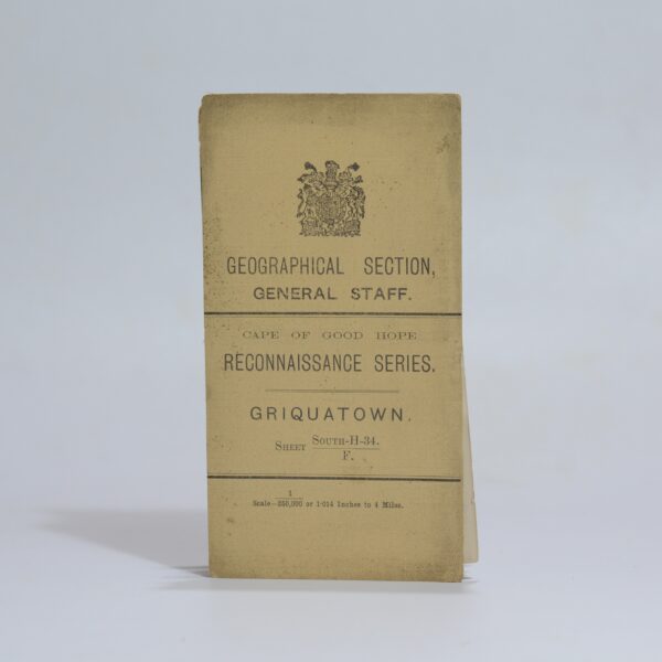
Map of Griquatown – for Official use only – Hopkins, Captain R.B.
Linen backed folding map with card wraps. From the War Office Reconnaissance series, Cape of Good Hope. A highly detailed map of the Griquatown District. Insets of Postmansburg, Campbell, Griquatown, Daniel’s Kuil and Goudman’s Drift. Indicated are towns and villages, native locations, railways, telegraphs, wagon trails, bridle tracks, trails requiring heavy oxpans, mission stations, farms,…
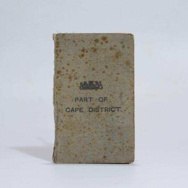
Map of Part of the Cape District –
Linen backed folding map with cloth bound wraps. A detailed map of the South Western Cape from Cape Town to Melkbos Strand. Indicating towns, railways, rivers, veld types, roads, blockhouses, farms, hotels, cemeteries, slaughterhouses, mission stations, asylums and more. Condition: good. Some light foxing at the folds Publisher: W.A. Richards and Sons Date Published: 1901…
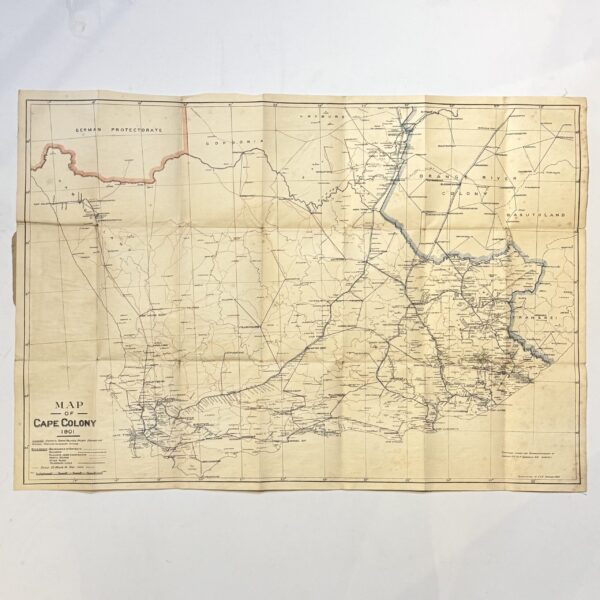
Map of the Cape Colony – Folding Map – Casgrain, Capt. R.H Du R
Linen backed folding map of the Colony compiled during the Anglo-Boer War. 25 miles to 1 inch, Showing districts, towns, villages, railway stations, sidings and telegraph offices. 76 x 54cm. Condition: good. Some foxing to the verso. Front wrap is missing. Date Published: 1901 Dimensions: 76 x 54cm
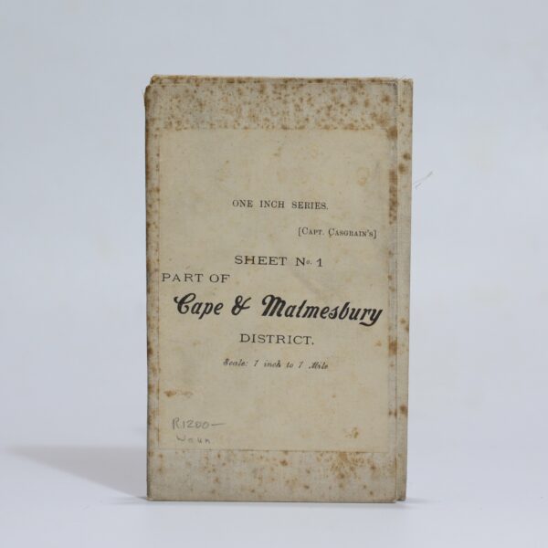
Map of the Malmesbury District. Sheet 1 of the One Inch Series. – Casgrain, Capt.
Surveyed by the Royal Engineers under the supervision of Captain Casgrain. Linen backed folding map. A detailed topographical map from the Anglo-Boer War period. Indicated are main roads and tracks, veld types, homesteads, towns and villages. From Melkbosch Strand to Ganze Kraal on the coast and Blaauwberg to Mamre inland. Condition: good. Some wear to…
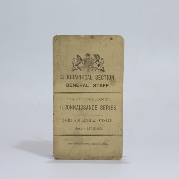
Cape Colony Reconnaissance Series. Port Nolloth & O’Okiep. Sheet: 127-K & L –
A detailed map of the area at a scale of 1:250 000 showing the course of the Orange River in the area between Prieska & Hopetown. A key noting towns, villages with locations, boundaries, railways, roads frequented by wagons, unfrequented, bridle paths, and steep or heavy requiring extra spans. Farm beacons and numbers, kraals and…
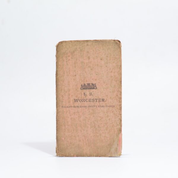
Map – Worcester and Surrounding Districts. Western Cape. South Africa –
Likely from a series of maps compiled by Major H.M. Jackson of the Field Intelligence Department during the Anglo-Boer War. A highly detailed topographical map with Rawsonville to the South marjn and Tulbagh and the Winter Hoek Mountains to the north. Indicates town, villages, rivers, mountains, railways, passes, roads and tracks. Condition: good. Some foxing…
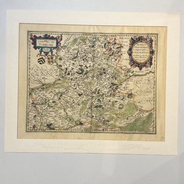
Nobilis Hannoniae Comitatus Descriptio – Ortelius, Abraham
Hand coloured copperplate engraving from the French edition of Abraham Ortelius’ Theatrum Orbis Terrarum. An area covering modern day Belgium and France. French text to the verso. Central fold and wide margins. Condition: very good Sheet size: 58 x 49cm Platemark: 49 x 38cm Date Published: 1598
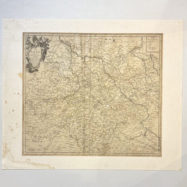
La Saxe Contenant les Routtes et les Postes – Le Rouge, G.L.
A post-rout map of Saxony in Germany. The map has the city of Leipzig at its center. Trimmed outside the platemark. One repaired hole (0.5cm). Platemark size: 55.5 x 49cm Date Published: 1743 Publication Place: Paris
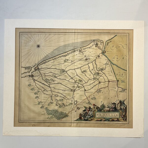
le Gouvernement de Calais et Pays Reconquis – Blaeu, Joan
Hand coloured copperplate engraving. Two small repaired tears to the bottom edge. Latin text to the verso. Gilt to the sensitive hand colouring. Map of Calais and surrounds in France. Sheet size: 64.4 x 56.4cm Date Published: 1662

Leodiensis Dioecesis – Blaeu,
A hand coloured copperplate engraved map of the Belgian province of Liege, showing the course of the Meuse River and the cities of Antwerp, Liege, Namur, Maastricht, and many others. Oriented to the West. Very good condition, wide margin and center fold. Strong original colour. German text to the verso. Sheet size: 60.4 x 49.4cm…
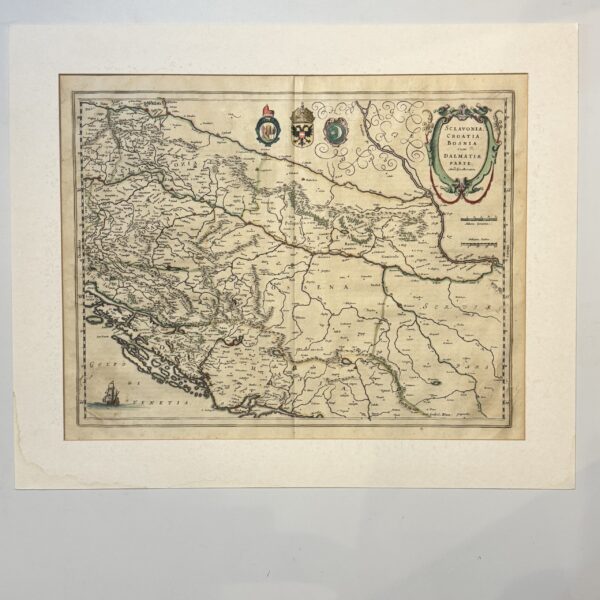
Sclavomia, Croatia, Bosnia cum Dalmatiae Parte – Mercator, Gerard
A hand coloured copperplate engraved map that spans from the Drava River in the north down into Dalmatia, and from present-day Slovenia in the west to Belgrade, Serbia in the east. German text to the verso. From the German edition of Blaeu’s Theatrum Orbis Terrarum. Condition: good. Some wear and fraying to the lower part…
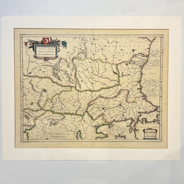
Walachia, Servia, Bulgaria, Romania – Mercator, Gerard
A hand coloured copperplate engraved map covering the central and eastern portions of the Balkan Peninsula, tracking the lower basin of the Danube River down to the Black Sea, this region was the strategic frontier of the Ottoman Empire. Romania, Moldavia, Serbia, Bulgaria, North Macedonia & Kosovo.Northern Greece & European Turkey are covered. Condition: very…
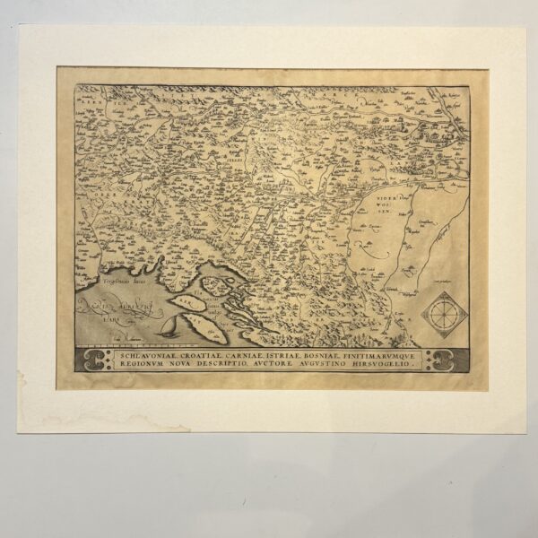
Schlavoniae, Croatiae, Carniae, Istriae, Bosniae, Finitimarumque – Hirschvogel, Augustin
This copper plate engraved map spans the eastern Adriatic coast and the broader Western Balkans. It defines historic territories including Slavonia, Croatia, Carniola (Slovenia), Istria (Croatia/Slovenia/Italy), and Bosnia. Latin text to the verso, first line ending Regio-, indicating a first state of this important map of the Balkans. Condition: very good, uncoloured, wide margins, some…
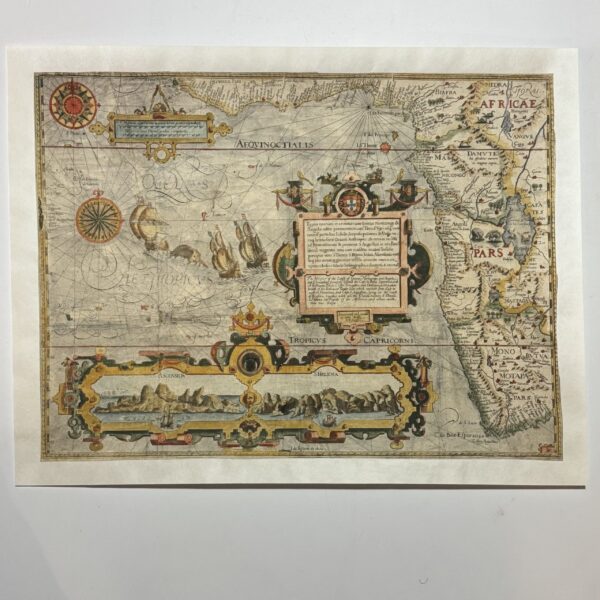
Typus orarum maritarum Guineae Manicongo & Angolae ultra promontoriom Bonae Spei usq.. The West Coast of Africa – Langren, Arnold Florent van
This map first appeared in Jan Huygen van Linschoten’s Itinerario, published in four parts in Amsterdam 1595-96 This is the English edition, published by John Wolfe in London in 1598 and it bears his imprint. Jan Huygen van Lindschoten, Dutch voyager, (1563 – 1611) entered the service of the Archbishop of Goa, and accompanied him…
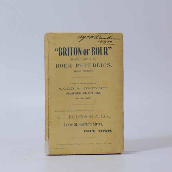
“Briton or Boer” Special Map of the Boer Republics – Wood & Ortlepp
A highly detailed folding map compiled for the British Field Intelligence Department during the Anglo-Boer War. Showing the sphere of war with insets of Pretoria, Kimberley, South Africa, Dundee, Ladysmith and Johannesburg. Condition: Very good. Some age appropriate toning and foxing. Some professional repairs to the folding wraps. Size: 91 x 61cm. Paper laid down…
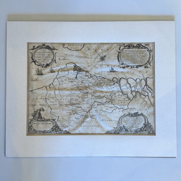
Nova Antiquae Flandriae – Fabius, Nicasius
A new map old ancient Flanders. Copperplate engraving with central fold. Some age toning, old tape to the edges, outside of the platemark. Sheet size: 45.5 x 40.5cm Image: 45.5 x 33.3cm Date Published: circa 1641 Condition: very good Dimensions: 45.5 x 33.5cm
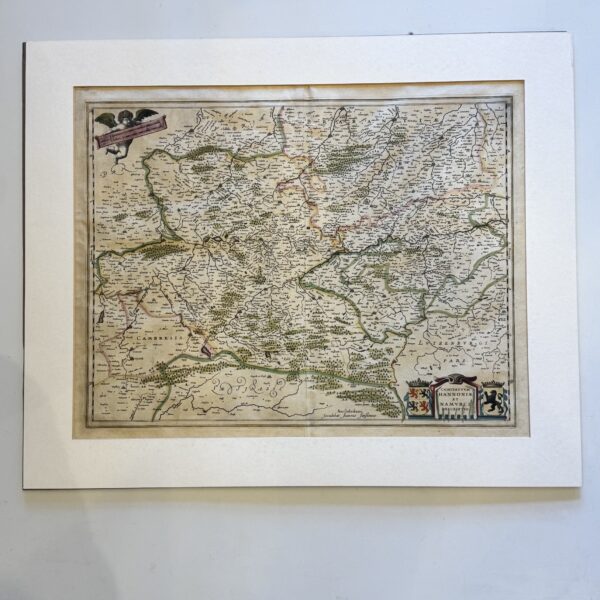
Comitatuum Hannoniae et Namurci Descriptio – Jansonius, Joannes
Copperplate engraving with early hand colouring. This map shows the countries of Hainaut and Namur, modern dy Belgium and northern France. Latin text to the verso. Central fold, old tape to the edges, well outside the plate mark. Sheet size: 54.5 x 44.5cm Platemark: 50 x 39cm. Condition: very good Date Published: circa 1643 Condition:…
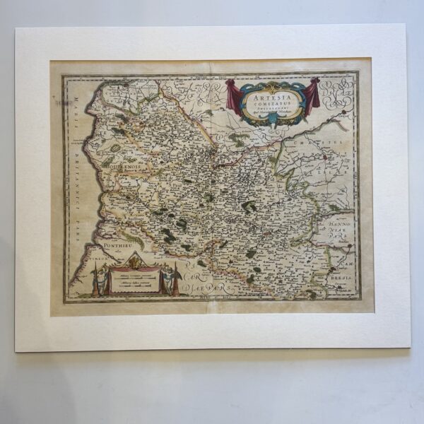
Artesia Comitatus Amstelodami – Hondius, Henricus
Copperplate engraved map of Artois (Artesia) in northern France, including the towns of Calais, Lille and Boulogne. Latin text to the verso. Hand colouring. Small patch of repaired loss to the central bottom edge. Central fold, old tape to the edges, well outside the platemark. Sheet size: 54.6 x 44.6cm Platemark: 49 x 38cm Date…
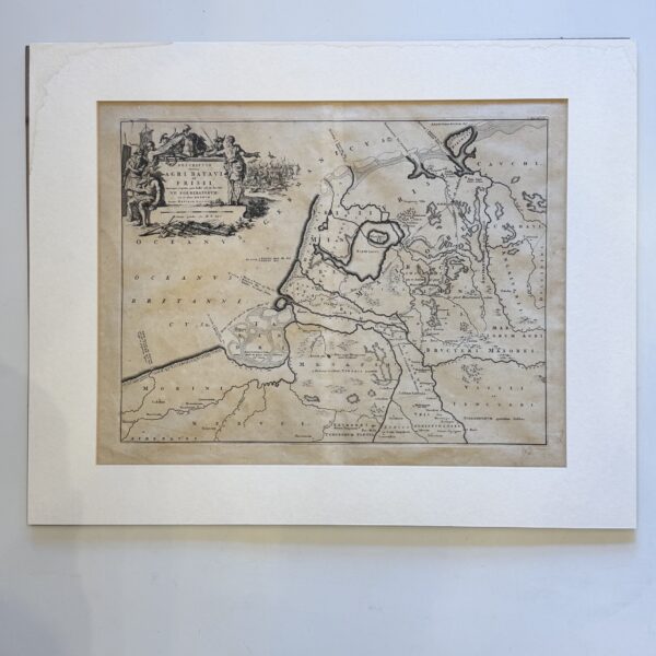
Descriptio veteris Agri Batavi et Frisii – Alting, Menso
Copperplate engraved map of old Netherlands and Friesland. Uncoloured, some age toning, tape to the page edges, well clear of the platemark. Verso blank. Sheet size: 49 x 38cm Platemark: 42.5 x 32.5cm Condition: very good Date Published: 1697
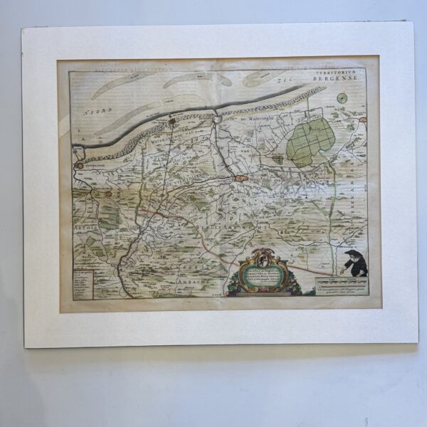
Nobilibus ac Amplissimis Dominis Urbis ac territorii Bergansis – de la Fontaine
A hand coloured copperplate engraved map of the Bergen district in Flanders. Central fold, Latin text to the verso. Old repaired tear to the upper left margin. Old tape to the page edges, well outside the platemark. Some mount burn outside the platemark. Sheet size: 58.5 x 49.5cm Platemark: 53.5 x 42cm Condition very good…
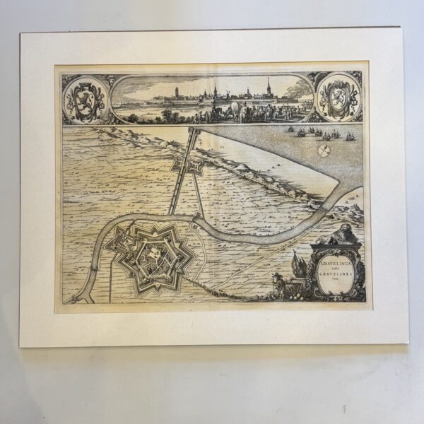
Gravelinga Gallis Gravelines Dicta – Blaeu, Joan and Willem Janzoon
Copperplate engraved map / plan of the French town of Gravelines. Central fold, uncoloured, old tape to the edges,. very good condition. Dutch text to the verso Sheet size: 59.4 x 48cm Platemark: 51 x 39.5cm Date Published: 1649
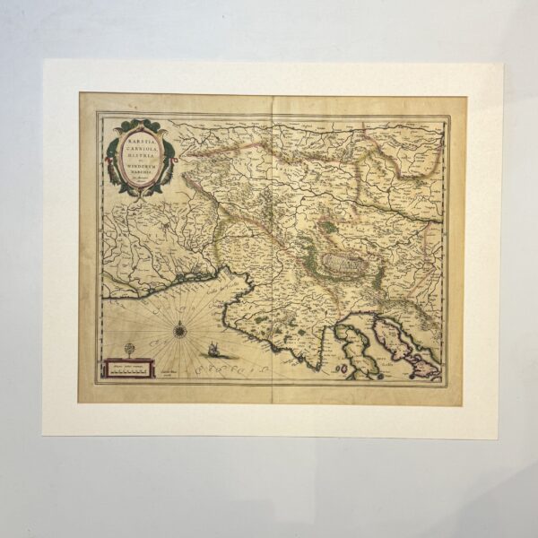
Karstia Carniola Histria et Windorum Marchia – Mercator, Gerardus and Blaeu, Willem Janszoon
A copperplate engraving with hand colouring. Central fold and wide margins. French text to the verso and the number 602. Covering an area of modern day Slovenia, Italy, Croatia and the gulf of Venice. Engraved with cities, rivers, and rugged mountainous terrain rendered in the classic “molehill” style. A compass rose and a classic sailing…
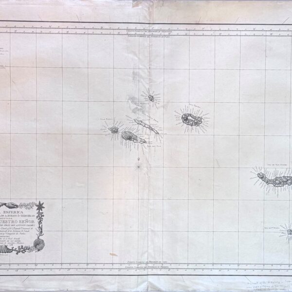
Carta Esferica de Las Islas de Los Azores o Terceras… – Tofino, Vincente Miguel de San
This chart by Vincente Tofino, a prominent Spanish cartographer, is from the “Atlas Maritimo de Espana” and engraved by F. Selma. The chart focuses on the Azores Islands, a crucial mid-Atlantic archipelago for navigation during the Age of Sail. Condition: good. Neatly repaired central damage with small amount of repaired loss. Copper plate engraving on…
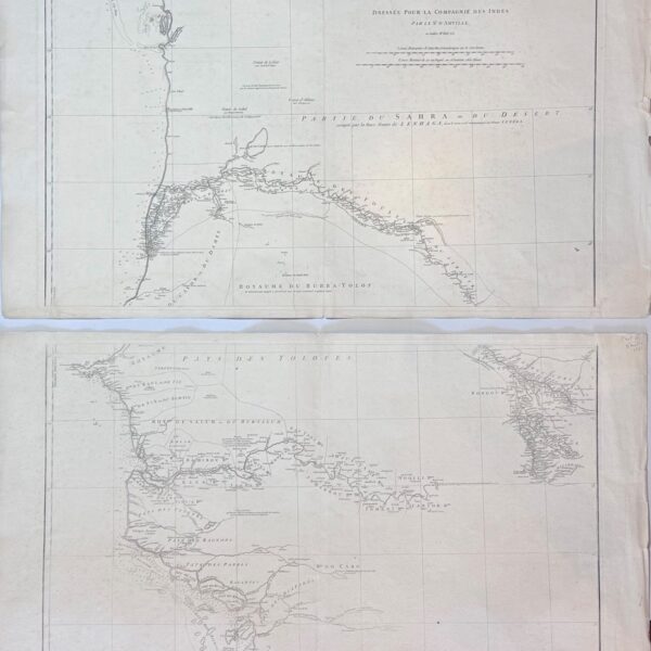
Carte Particuliere de la Cotte Occidentale de l’Afrique…de la Senega et de Gambie – d’ Anville, Jean
Western coastline of Africa from Mauritania to Guinea-Bissau. Showing Senegal and Gambia with much detail of the coast and along the main rivers. Copper plate engraving printed on two elephant folio sheets of heavy laid paper. Each sheet 83 x 55.5cm. Condition : good. Some light fraying to the edges. Date Published: 1751
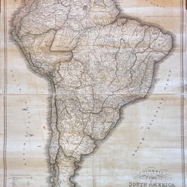
Colombia Prima or South America Drawn from the Large Map in Eight Sheets – De la Rochette
Some hand colouring to the borders of countries. A large map in four sheets, a reduction of the larger 8 section, first state map of 1811. Condition: good. Some age toning and spotting, short tears to the margins. This is the 5th state with additional Humbolt data along the bottom. Publisher: James Wyld Date Published:…
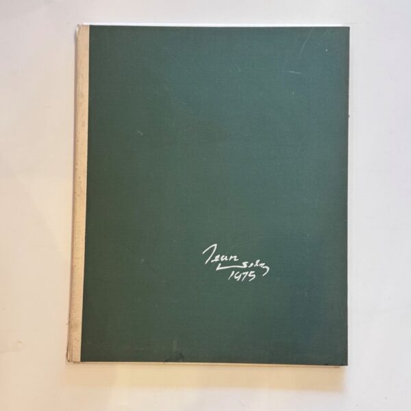
Jean Welz 1975. Portfolio – Welz, Jean
Portfolio containing 10 colour lithographed prints and one signed and numbered charcoal reproduction. Also contained in the portfolio is a prospectus for the work, a short introductory text by W.E.G. Louw and a signed note from the publisher. Produced to the finest standards for the artists 75th birthday and limited to 300 copies. A small…
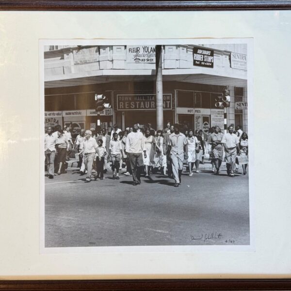
Saturday Morning at the Corner of Commissioner and Trichardt Streets. Boksburg – Goldblatt, David
Digital photographic print from an edition for 100. Signed and dated by the photographer to the recto in black ink and numbered in pencil to the verso. Produced by Modern Art Oxford and donated to their fundraising programme to coincide with David Goldblatt’s touring retrospective exhibition. Fifty One Years, U.K. 2003. This image appears in…
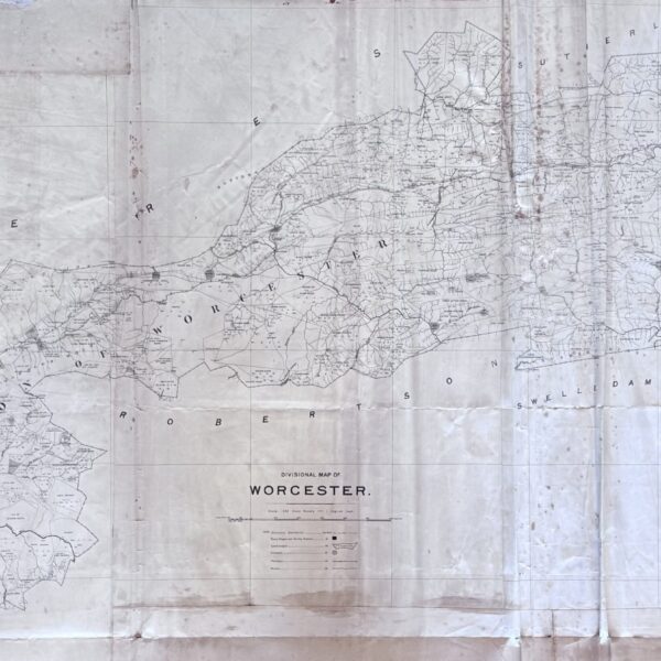
Divisional Map – Worcester –
A large map spanning the Worcester district as it was in 1890. A key indicates Divisional Boundaries, Field Connecting Boundaries, outspans, towns and villages, eg. “Aan de Boschjesman’s Valley, Brandwacht, Fonteintjies Berg, Hex River, Ben Heatlie, Aan de Doorns, et al. Indicates villages and settlements, trading stations, police posts, churches, outspans and rivers. Linen-backed. Size…