
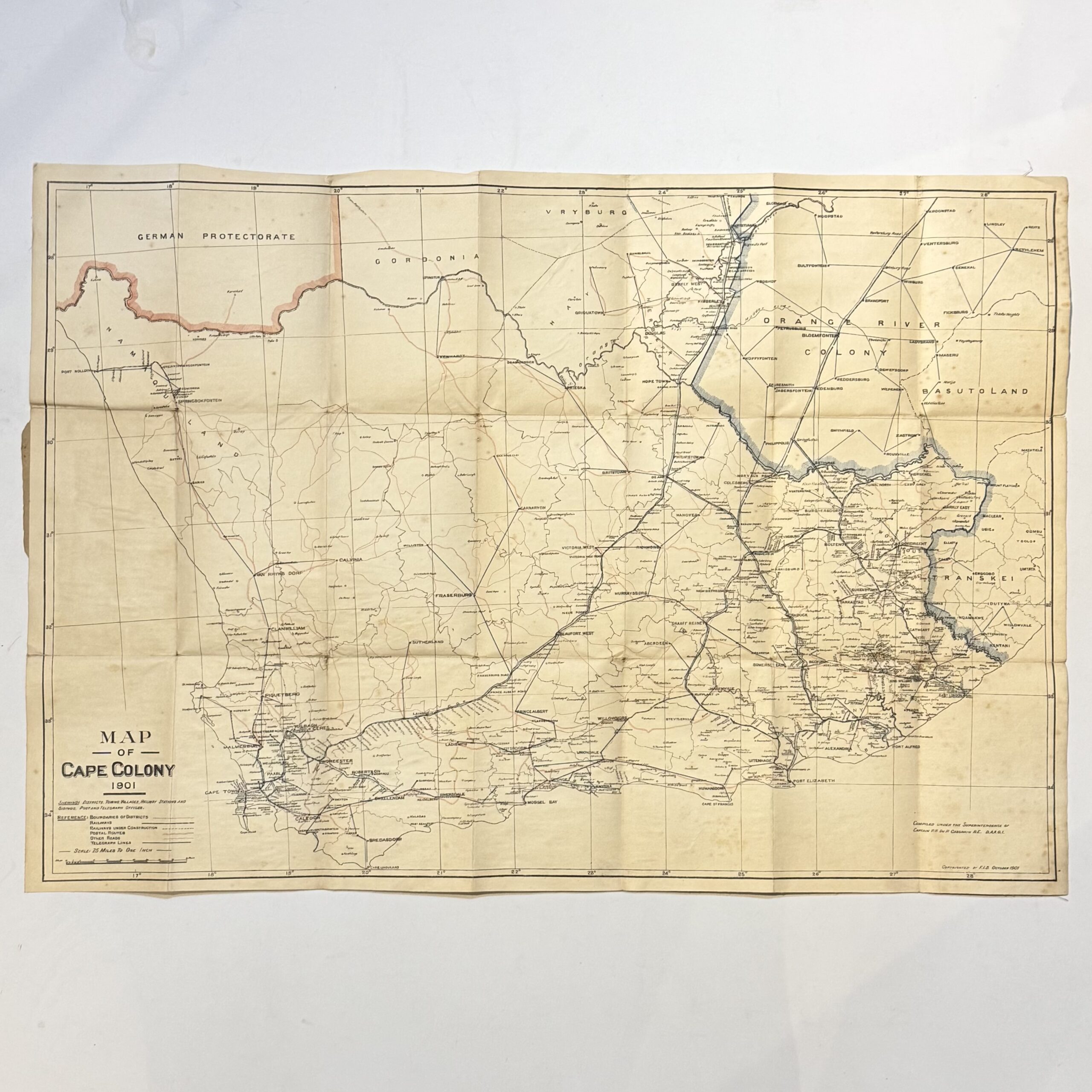
Linen backed folding map of the Colony compiled during the Anglo-Boer War. 25 miles to 1 inch, Showing districts, towns, villages, railway stations, sidings and telegraph offices. 76 x 54cm. Condition: good. Some foxing to the verso. Front wrap is missing.
Date Published: 1901
Dimensions: 76 x 54cm
You Might Also Like
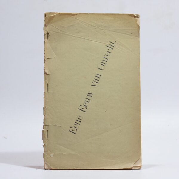
Eene (Een) Eeuw van Onrecht – Reitz, F. W(et.al.)
R9,900.00
Add to basket
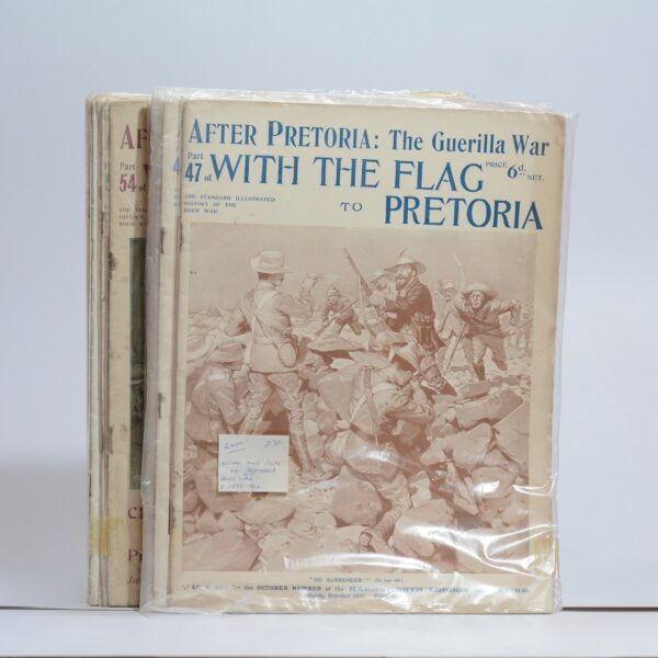
After Pretoria: The Guerilla War. With the Flag to Pretoria. 13 of 72 parts –
R550.00
Add to basket
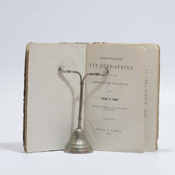
Herinneringen Uit Zuid-Afrika – Tromp, Theod. M.
R715.00
Add to basket
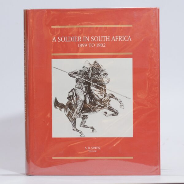
A Soldier in South Africa. The Experiences of Eustace Abadie 1899 to 1902. – Spies, S B (Ed)
R990.00
Add to basket