
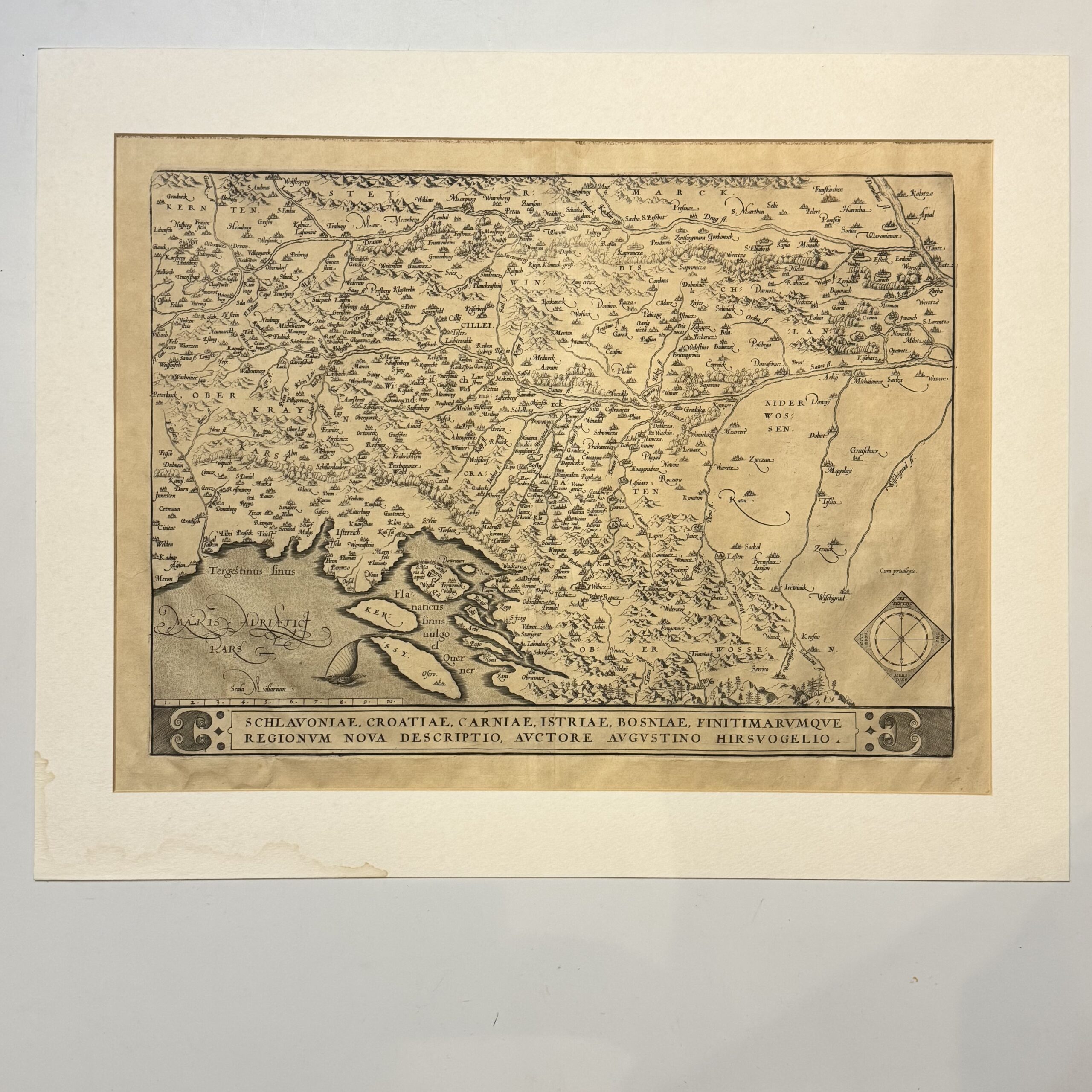
This copper plate engraved map spans the eastern Adriatic coast and the broader Western Balkans. It defines historic territories including Slavonia, Croatia, Carniola (Slovenia), Istria (Croatia/Slovenia/Italy), and Bosnia. Latin text to the verso, first line ending Regio-, indicating a first state of this important map of the Balkans. Condition: very good, uncoloured, wide margins, some mount burn. Sheet size: 54.4 x 39.8cm Platemark: 47 x 34.4cm
Publisher: Ortelius, Abraham
Date Published: 1570
Publication Place: Antwerp
You Might Also Like
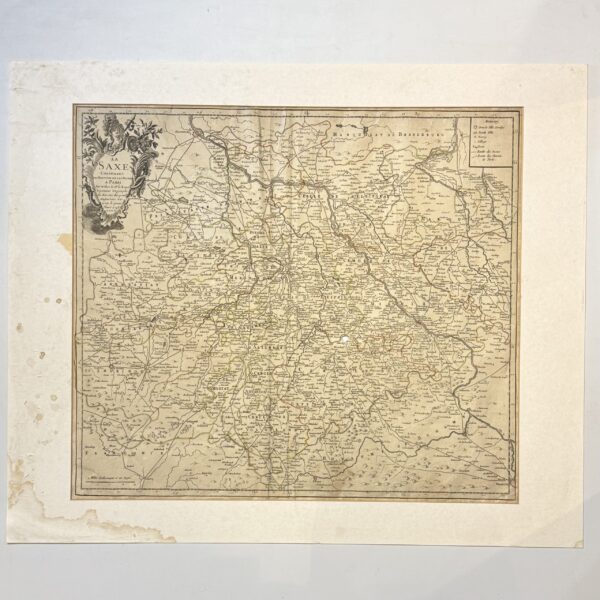
La Saxe Contenant les Routtes et les Postes – Le Rouge, G.L.
R1,320.00
Add to basket
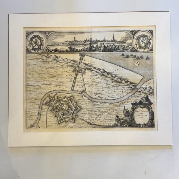
Gravelinga Gallis Gravelines Dicta – Blaeu, Joan and Willem Janzoon
R2,750.00
Add to basket
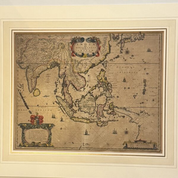
India que Orientalis dicitur, et Insulae Adiacentes – Hondius, H
R24,200.00
Add to basket
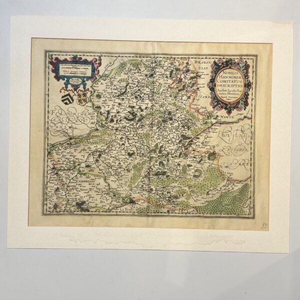
Nobilis Hannoniae Comitatus Descriptio – Ortelius, Abraham
R4,400.00
Add to basket