
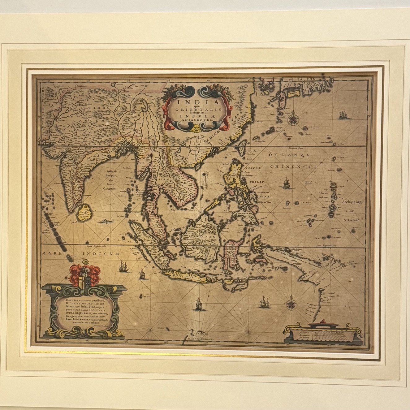
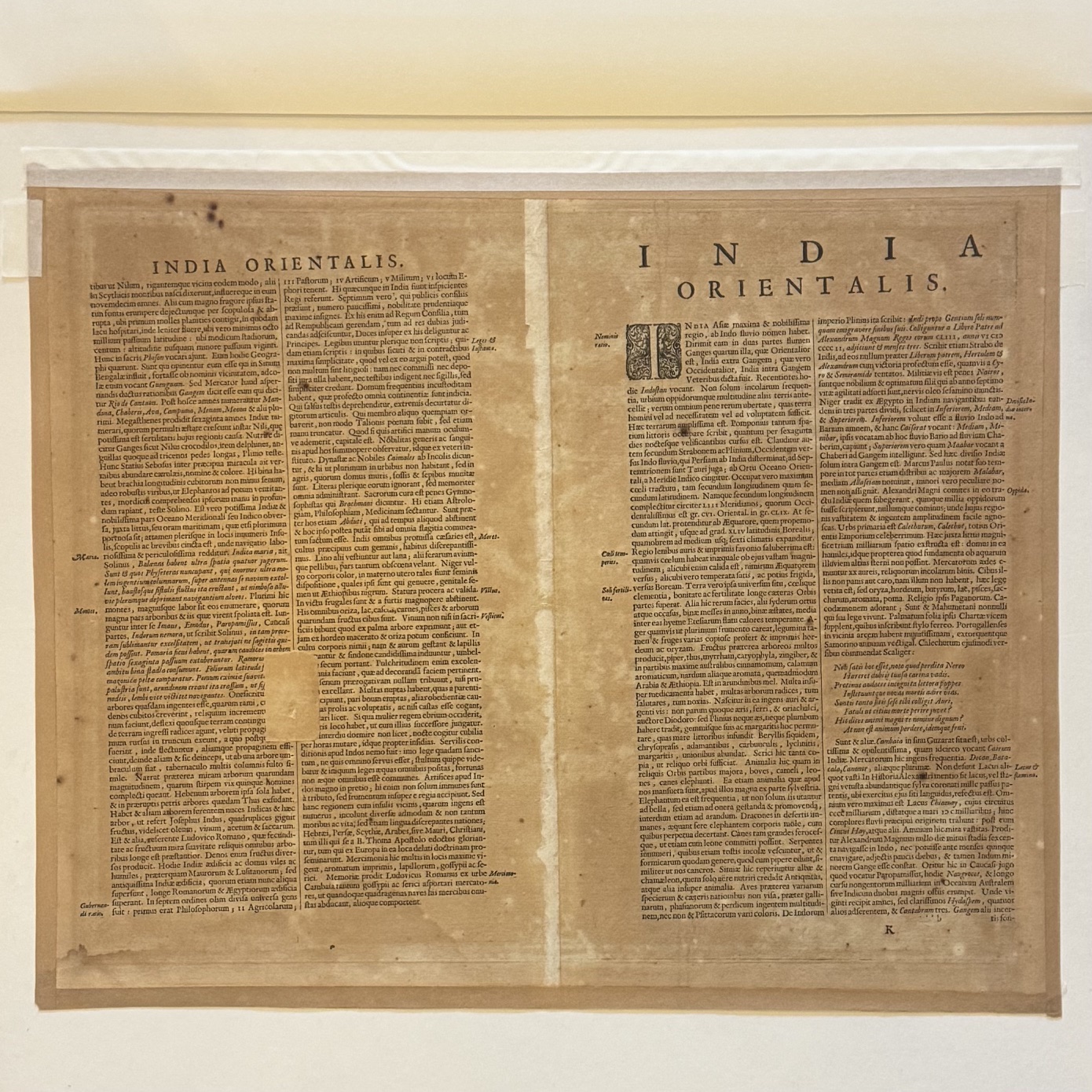
Hondius map with early hand colouring. Notable for its depiction of the coastline of New Guinea, which appears attached to the coast of Australia. Latin text to the verso. Some browning to the sheet, a small repair to the lower right, visible from the verso only. A little britleness with some cracking at the platemark. Condition: good Sheet size: 54 x 44.3cm Platemark: 49.5 x 39.5cm
Date Published: c. 1638
Publication Place: Amsterdam
First Edition: Yes
Condition: Good
You Might Also Like
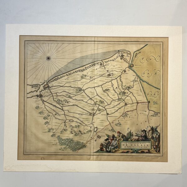
le Gouvernement de Calais et Pays Reconquis – Blaeu, Joan
R4,180.00
Add to basket
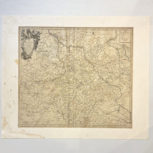
La Saxe Contenant les Routtes et les Postes – Le Rouge, G.L.
R1,320.00
Add to basket
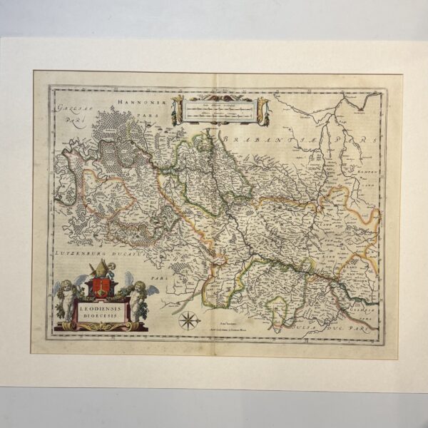
Leodiensis Dioecesis – Blaeu,
R4,400.00
Add to basket
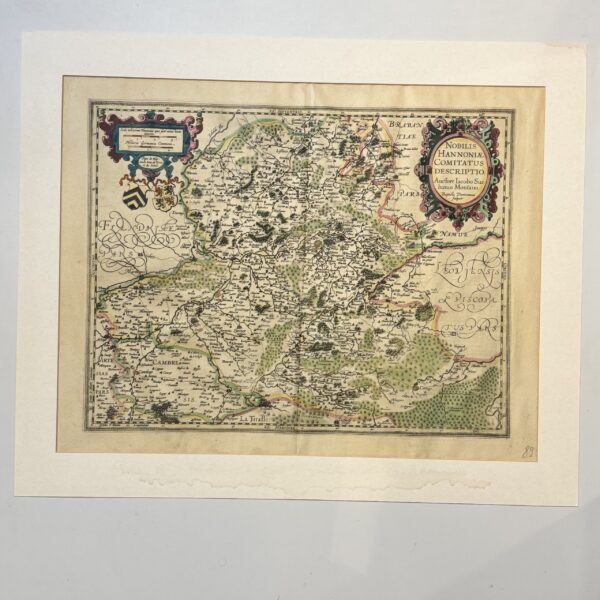
Nobilis Hannoniae Comitatus Descriptio – Ortelius, Abraham
R4,400.00
Add to basket