
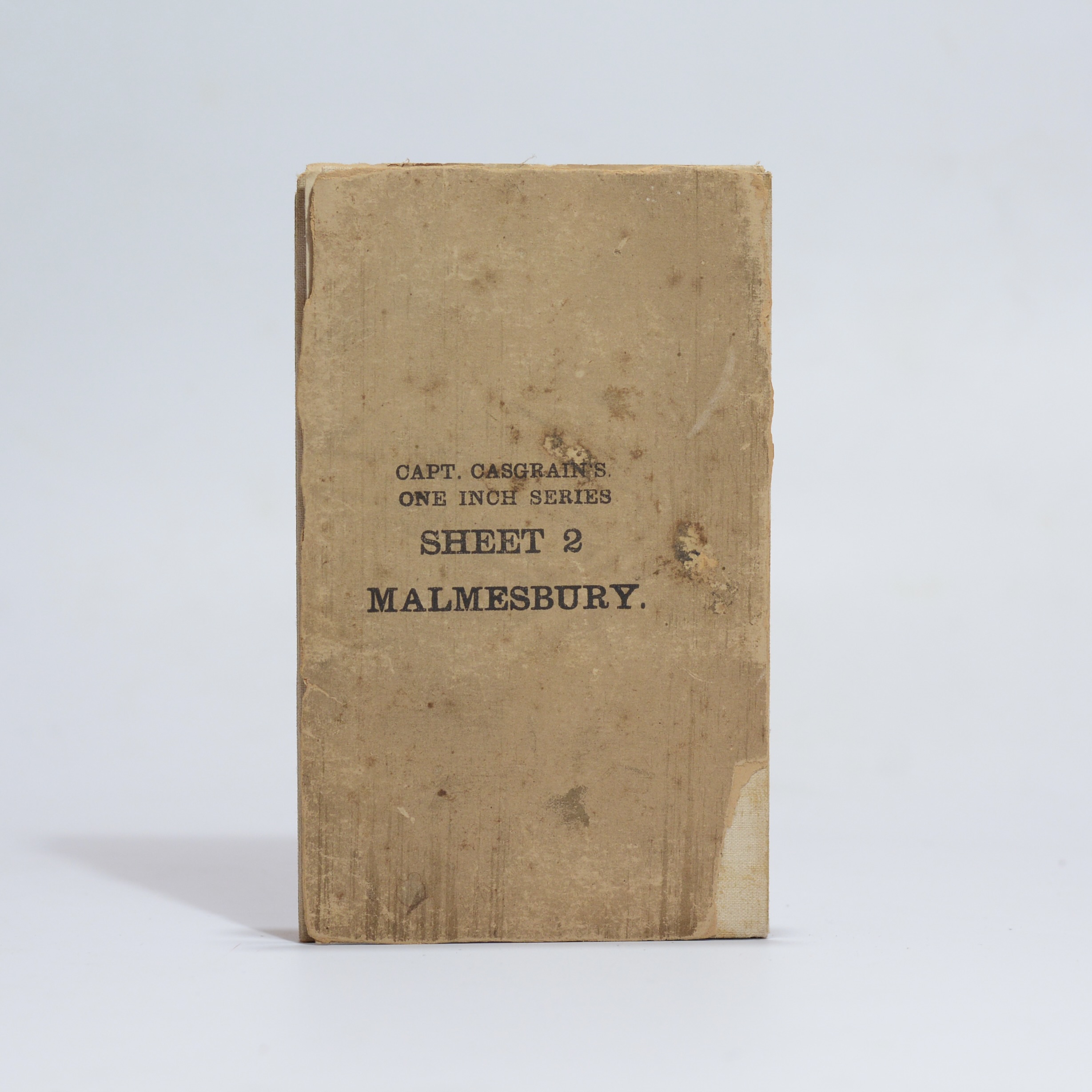
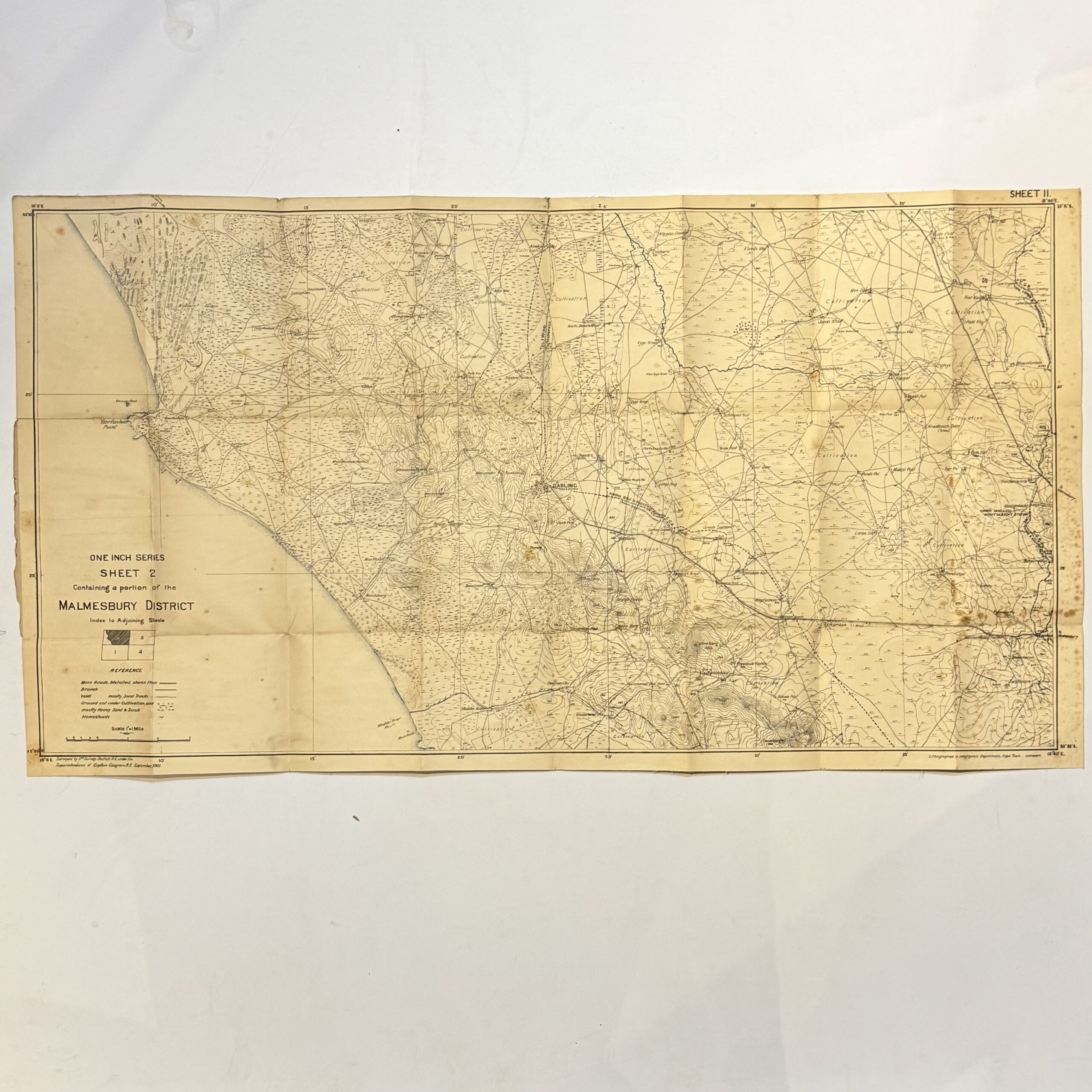
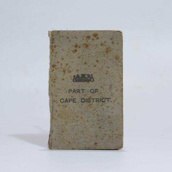
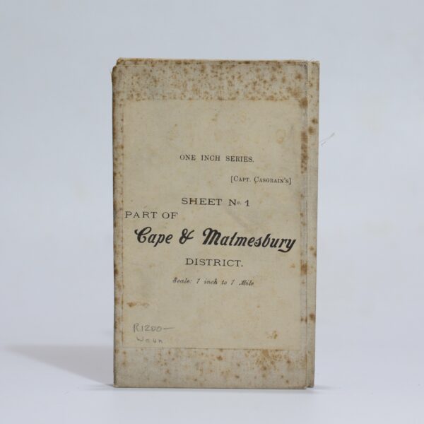
Surveyed by the Royal Engineers under the supervision of Captain Casgrain. Linen backed folding map. A detailed topographical map from the Anglo-Boer War period. Indicated are main roads and tracks, veld types, homesteads, towns and villages. Showing Yzerfontein on the coast. Condition: good. Some wear to the outer wraps and foxing, mostly to the verso.
Publisher: Intelligence Department
Date Published: 1901
Publication Place: Cape Town
First Edition: Yes
Condition: Good
Dimensions: 87 x 47cm
You Might Also Like
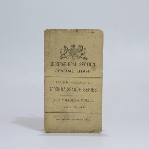
Cape Colony Reconnaissance Series. Port Nolloth & O’Okiep. Sheet: 127-K & L –
R1,980.00
Add to basket
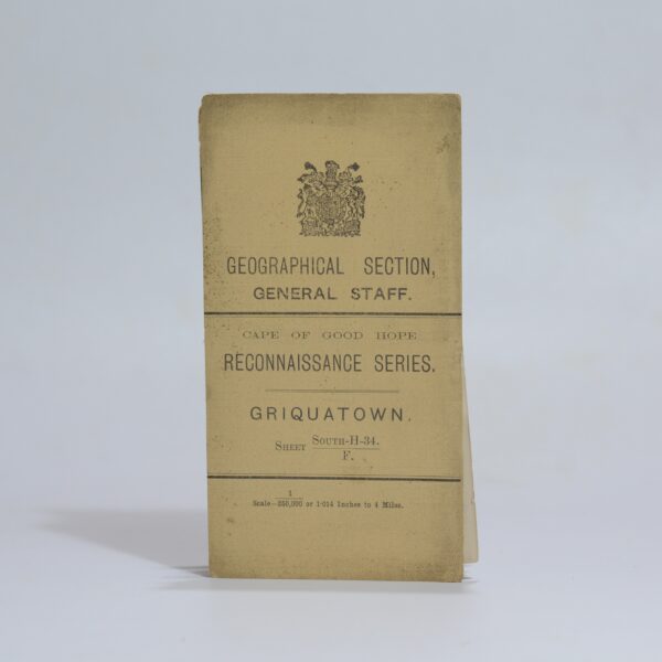
Map of Griquatown – for Official use only – Hopkins, Captain R.B.
R1,760.00
Add to basket
Map of Part of the Cape District –
R3,300.00
Add to basket
Map of the Malmesbury District. Sheet 1 of the One Inch Series. – Casgrain, Capt.
R1,320.00
Add to basket