
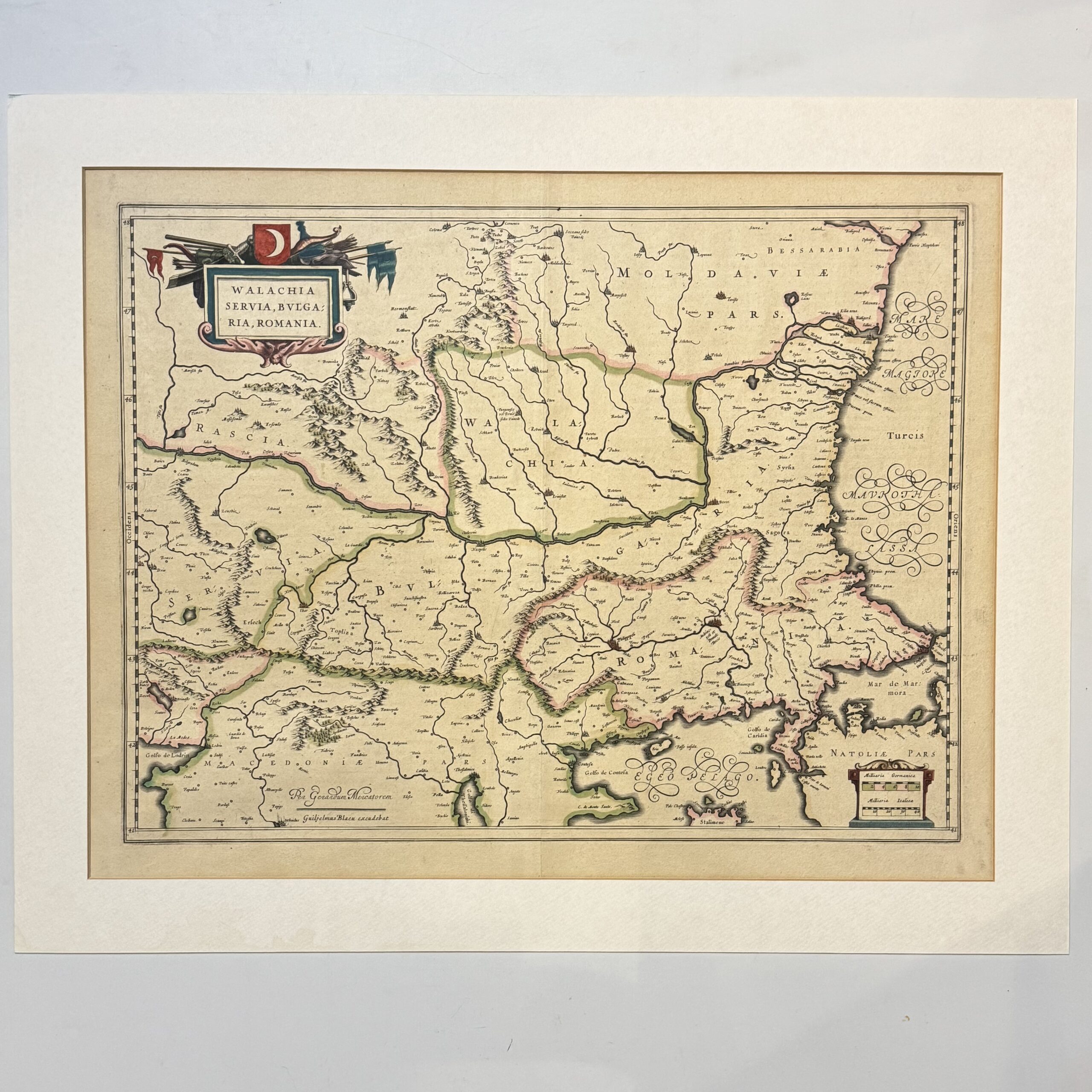
A hand coloured copperplate engraved map covering the central and eastern portions of the Balkan Peninsula, tracking the lower basin of the Danube River down to the Black Sea, this region was the strategic frontier of the Ottoman Empire. Romania, Moldavia, Serbia, Bulgaria, North Macedonia & Kosovo.Northern Greece & European Turkey are covered. Condition: very good. Wide margins and a central fold. Some mount burn to the margins. French text to the verso. Sheet size: 59.5 x 48.5cm Platemark: 51.5 x 39cm
Publisher: Blaeu
Date Published: 1663
You Might Also Like
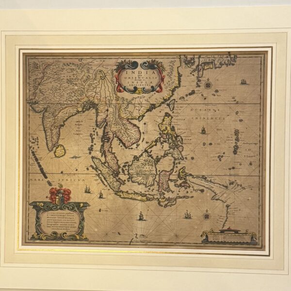
India que Orientalis dicitur, et Insulae Adiacentes – Hondius, H
R24,200.00
Add to basket
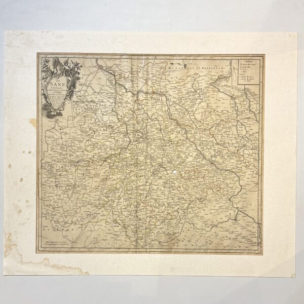
La Saxe Contenant les Routtes et les Postes – Le Rouge, G.L.
R1,320.00
Add to basket
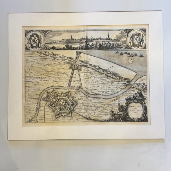
Gravelinga Gallis Gravelines Dicta – Blaeu, Joan and Willem Janzoon
R2,750.00
Add to basket
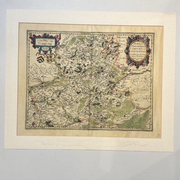
Nobilis Hannoniae Comitatus Descriptio – Ortelius, Abraham
R4,400.00
Add to basket