

Linen backed folding map produced during the Anglo-Boer War. Interesting topographical detail including farm boundaries. 60 x 49cm
Publisher: Intelligence Dept.
Date Published: 1901
Publication Place: Cape Town
You Might Also Like
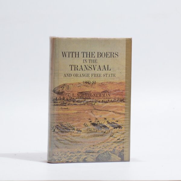
With the Boers in the Transvaal and Orange Free State 1880-81 – C.L. Norris-Newman
R385.00
Add to basket
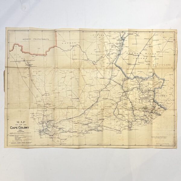
Map of the Cape Colony – Folding Map – Casgrain, Capt. R.H Du R
R1,980.00
Add to basket
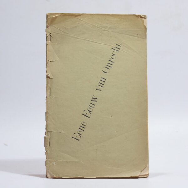
Eene (Een) Eeuw van Onrecht – Reitz, F. W(et.al.)
R9,900.00
Add to basket
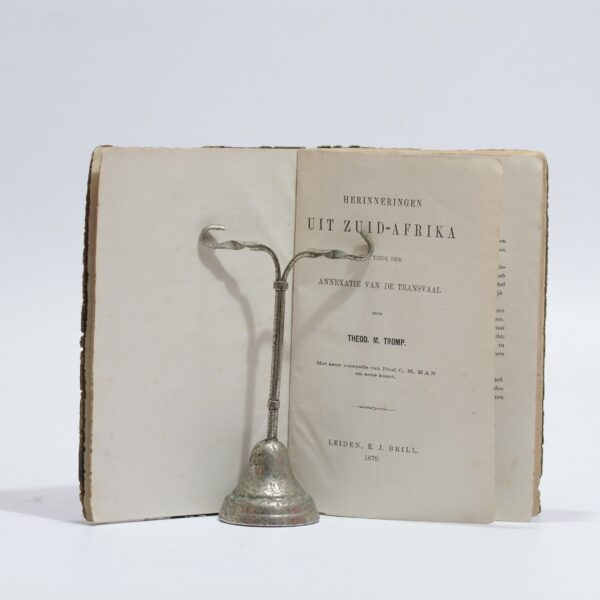
Herinneringen Uit Zuid-Afrika – Tromp, Theod. M.
R715.00
Add to basket