

Linen backed folding map. Scale of 3.94 miles to 1 inch. Showing roads, rivers, hills, pans, railways, telegraph line, farm boundries and fences, homesteads, cultivated lands and trees in the key. Some abrasions to the rhight side, wear and fading to the wraps. 62 x 49.5cm. Compiled at the time of the Anglo Boer War.
Publisher: Field Intelligence Department
Date Published: 1900
Publication Place: Cape Town
First Edition: Yes
Condition: good
You Might Also Like
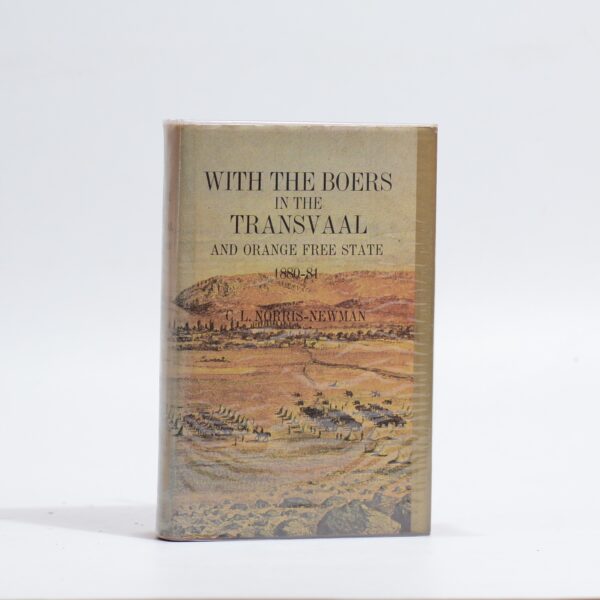
With the Boers in the Transvaal and Orange Free State 1880-81 – C.L. Norris-Newman
R385.00
Add to basket
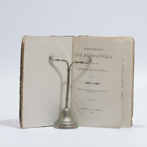
Herinneringen Uit Zuid-Afrika – Tromp, Theod. M.
R715.00
Add to basket
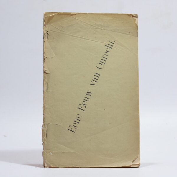
Eene (Een) Eeuw van Onrecht – Reitz, F. W(et.al.)
R9,900.00
Add to basket
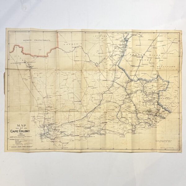
Map of the Cape Colony – Folding Map – Casgrain, Capt. R.H Du R
R1,980.00
Add to basket