
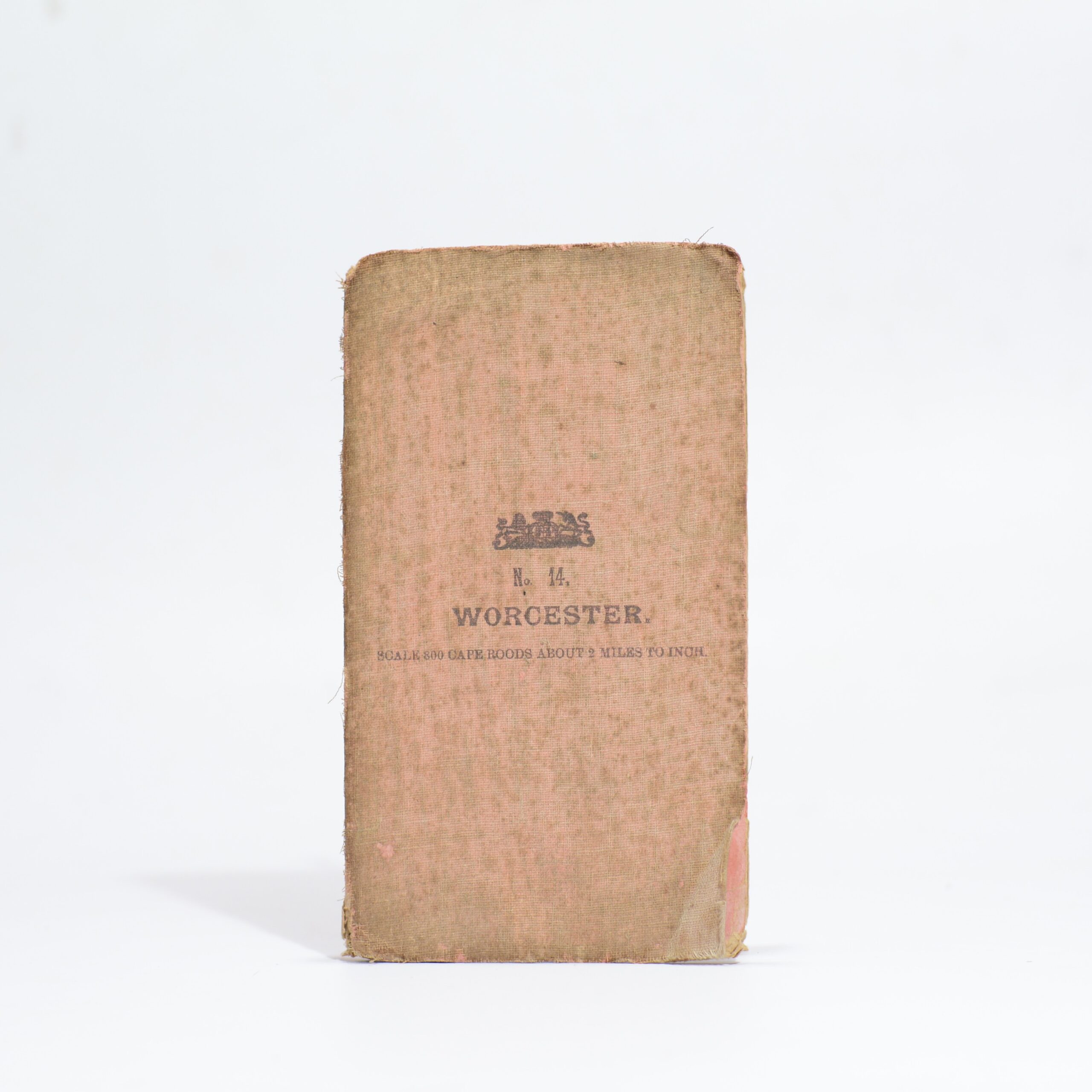
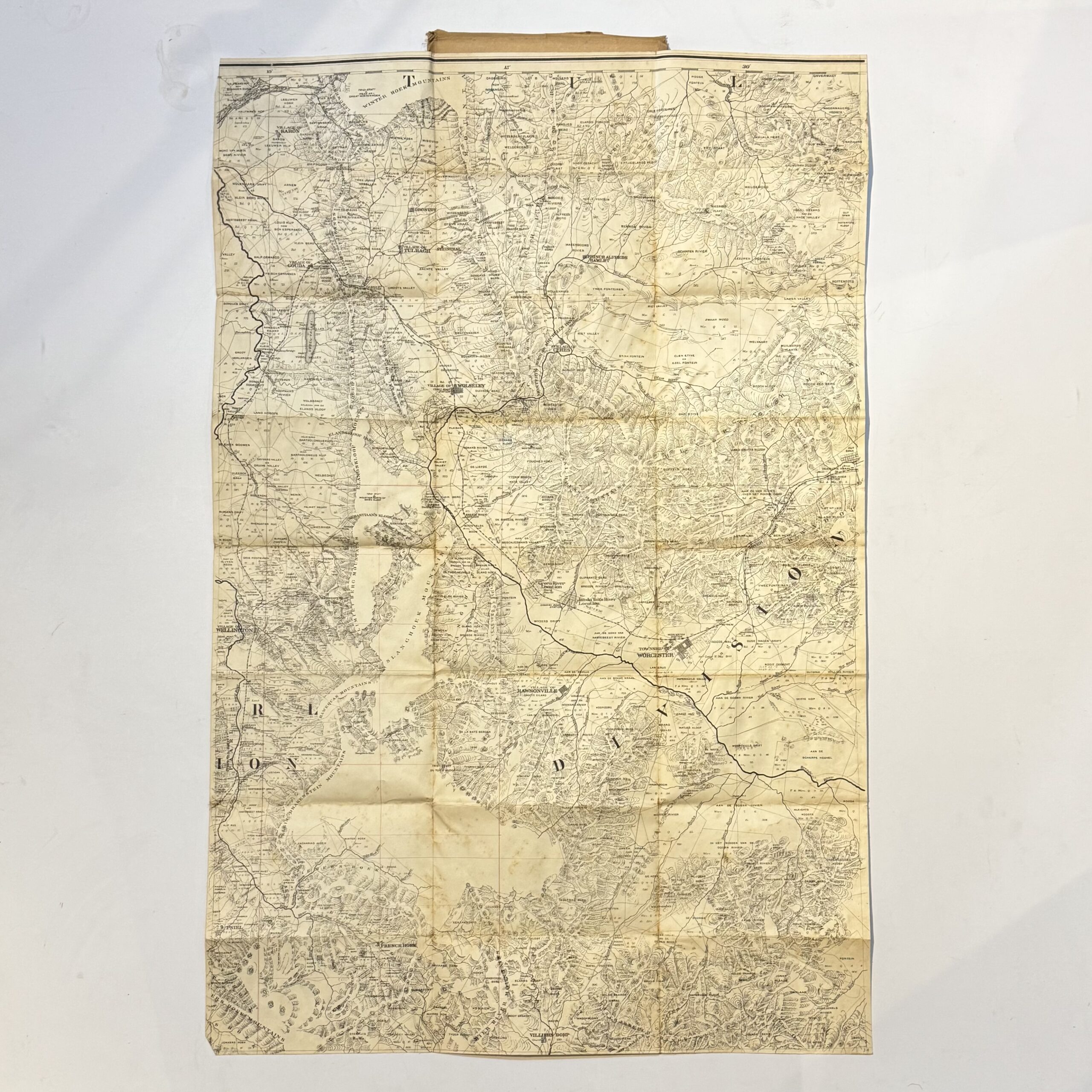
Likely from a series of maps compiled by Major H.M. Jackson of the Field Intelligence Department during the Anglo-Boer War. A highly detailed topographical map with Rawsonville to the South marjn and Tulbagh and the Winter Hoek Mountains to the north. Indicates town, villages, rivers, mountains, railways, passes, roads and tracks. Condition: good. Some foxing to the verso and cloth covered wraps.
Date Published: circa 1901
First Edition: Yes
Condition: Good
Dimensions: 82 x 54cm
You Might Also Like
The Transvaal – A Guide to its Pleasure Resorts & Historic Places –
R3,300.00
Add to basket
Map of Griquatown – for Official use only – Hopkins, Captain R.B.
R1,760.00
Add to basket
Map of the Malmesbury District. Sheet 2 of the One Inch Series. – Casgrain, Capt.
R1,540.00
Add to basket
Map of Part of the Cape District –
R3,300.00
Add to basket