
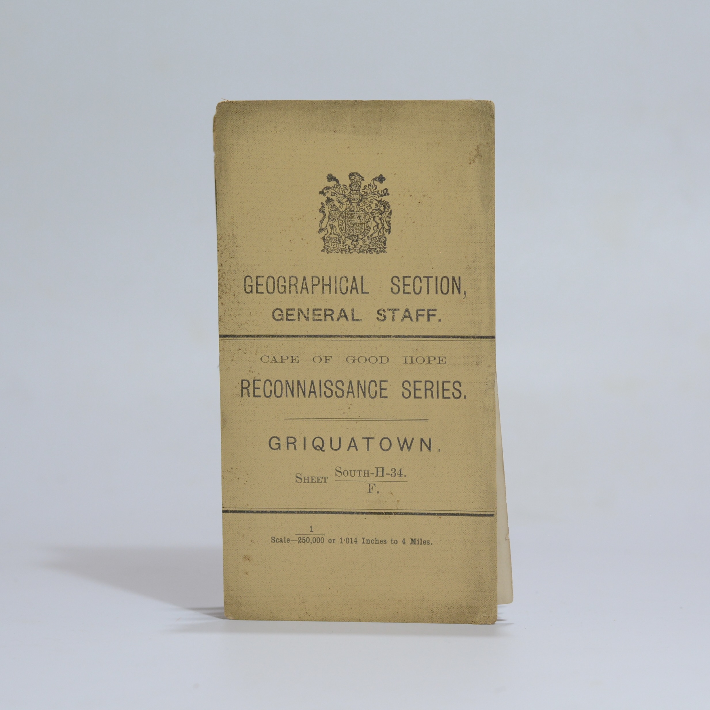
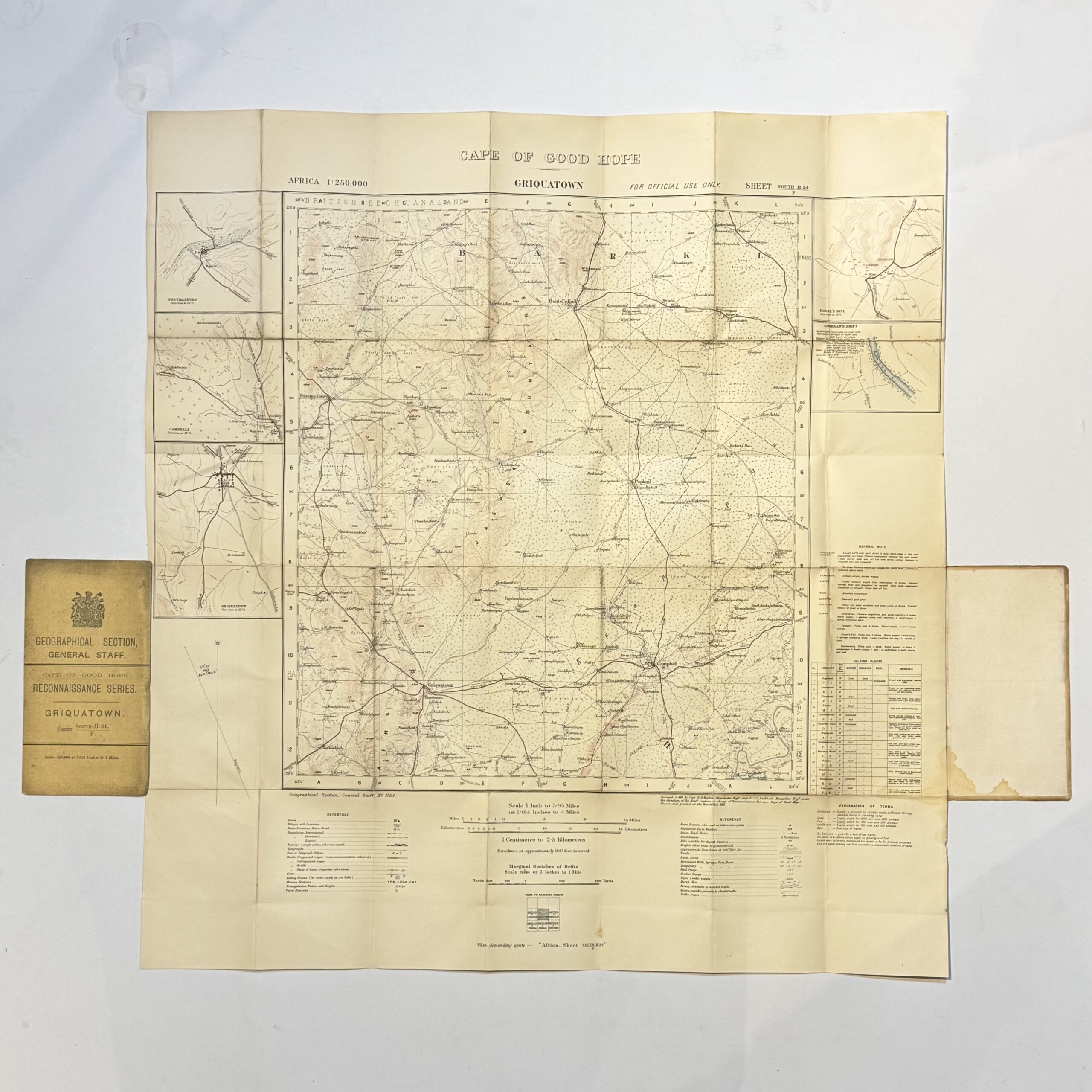
Linen backed folding map with card wraps. From the War Office Reconnaissance series, Cape of Good Hope. A highly detailed map of the Griquatown District. Insets of Postmansburg, Campbell, Griquatown, Daniel’s Kuil and Goudman’s Drift. Indicated are towns and villages, native locations, railways, telegraphs, wagon trails, bridle tracks, trails requiring heavy oxpans, mission stations, farms, ruins, veld types, rivers and drifts, grazing and fuel. Condition: very good
Publisher: The War Office
Date Published: 1914
Publication Place: Cape Town
First Edition: Yes
Condition: very good
Dimensions: 63 x 67cm
You Might Also Like
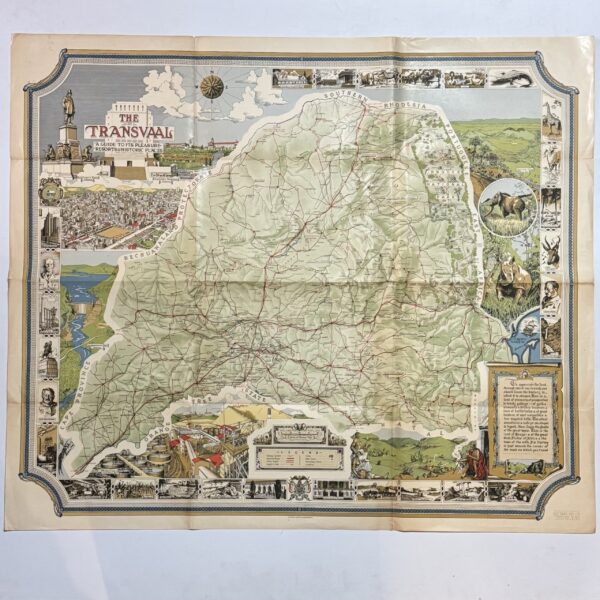
The Transvaal – A Guide to its Pleasure Resorts & Historic Places –
R3,300.00
Add to basket
Map of Part of the Cape District –
R3,300.00
Add to basket
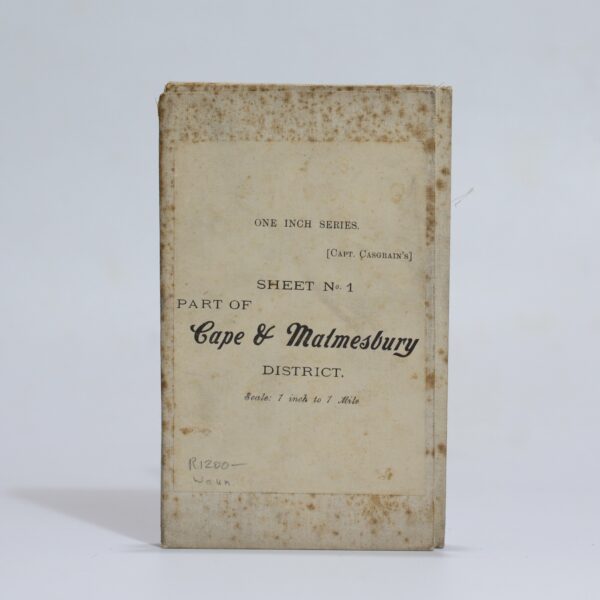
Map of the Malmesbury District. Sheet 1 of the One Inch Series. – Casgrain, Capt.
R1,320.00
Add to basket
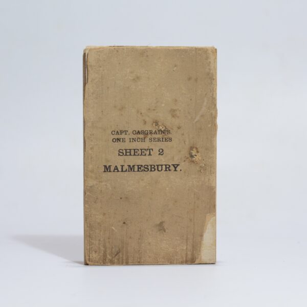
Map of the Malmesbury District. Sheet 2 of the One Inch Series. – Casgrain, Capt.
R1,540.00
Add to basket