
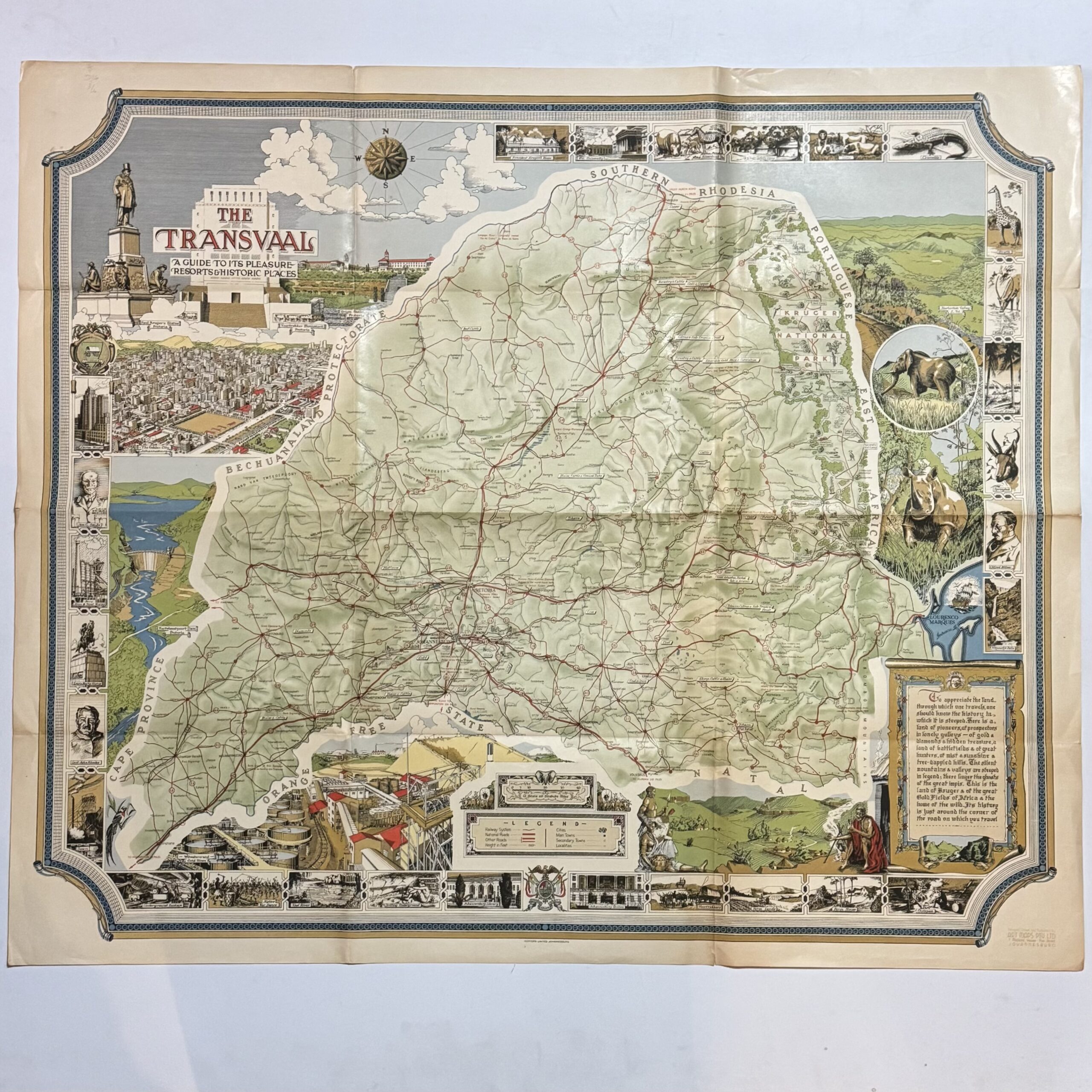
A detailed, pictorial map of the Transvaal with numerous insets and a decorative border. Lithographed in colour. There is a key- legend for Railway System, National Road, Other Roads, Height in Feet, Cities, Main Towns, Secondary Towns and Locations. Condition: Very good. Fold-lines witha touch of splitting to the edges outside the margins.
Publisher: Art Maps
Date Published: circa 1950
Publication Place: Johannesburg
Condition: Very good. Folt-lines witha touch of splitting to the edges outside the margins.
Dimensions: 87.5 x 74cm
You Might Also Like
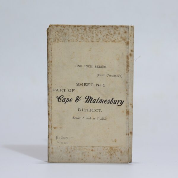
Map of the Malmesbury District. Sheet 1 of the One Inch Series. – Casgrain, Capt.
R1,320.00
Add to basket
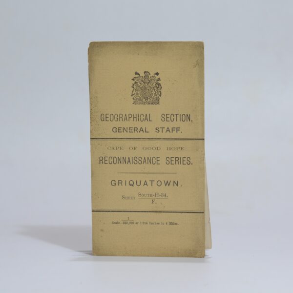
Map of Griquatown – for Official use only – Hopkins, Captain R.B.
R1,760.00
Add to basket
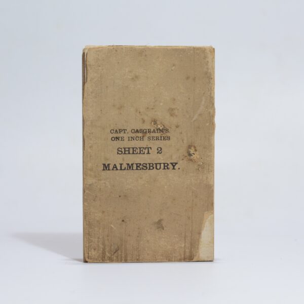
Map of the Malmesbury District. Sheet 2 of the One Inch Series. – Casgrain, Capt.
R1,540.00
Add to basket
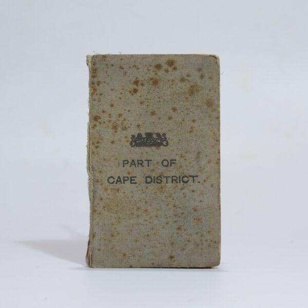
Map of Part of the Cape District –
R3,300.00
Add to basket