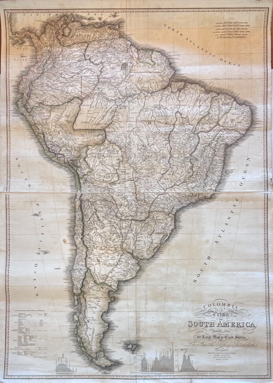
Some hand colouring to the borders of countries. A large map in four sheets, a reduction of the larger 8 section, first state map of 1811. Condition: good. Some age toning and spotting, short tears to the margins. This is the 5th state with additional Humbolt data along the bottom.
Publisher: James Wyld
Date Published: 1824
Publication Place: London
Dimensions: 80 x 111cm