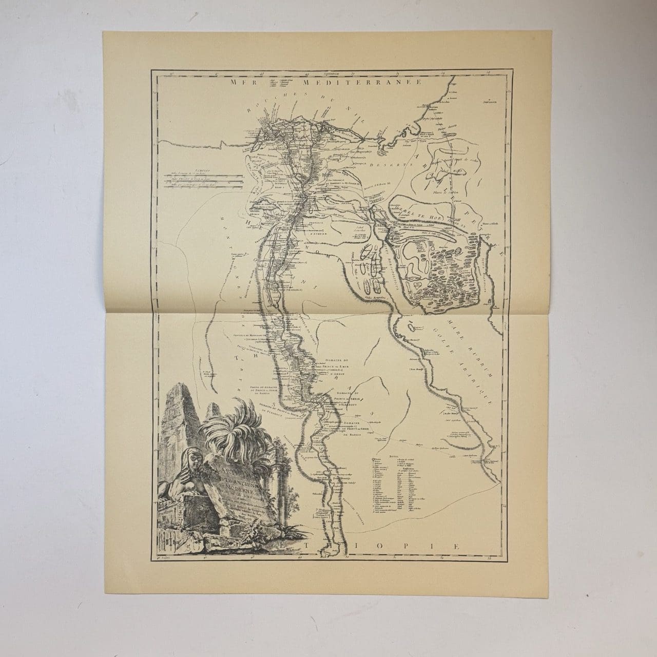
18th century French map of Ancient Egypt showing the Nile river and its delta. Originally published c. 1753, this is a 20th century copy. Very good condition, sheet size: 66 x 52cm. Printed on good quality paper, with a central fold
Date Published: c.1950