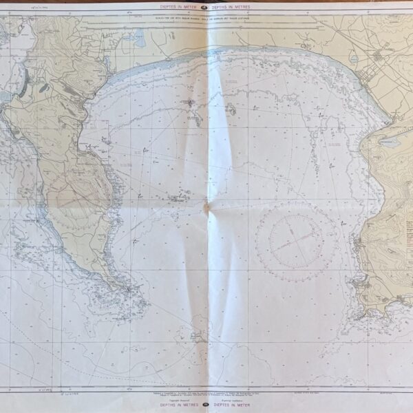
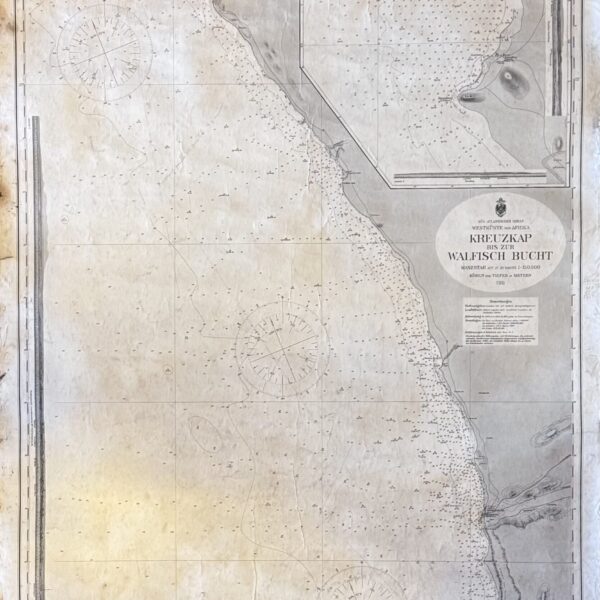
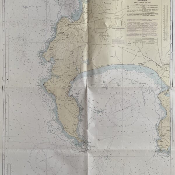
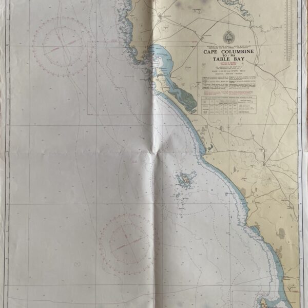
A 17th century map depicting the Gulf of Guinea, extending from modern day Gambia to the coasts of Camaroon and Gabon. Originally published c. 1614, this is a 20th century copy. Very good condition, sheet size: 52 x 33cm. Printed on good quality paper.
Date Published: c.1950