
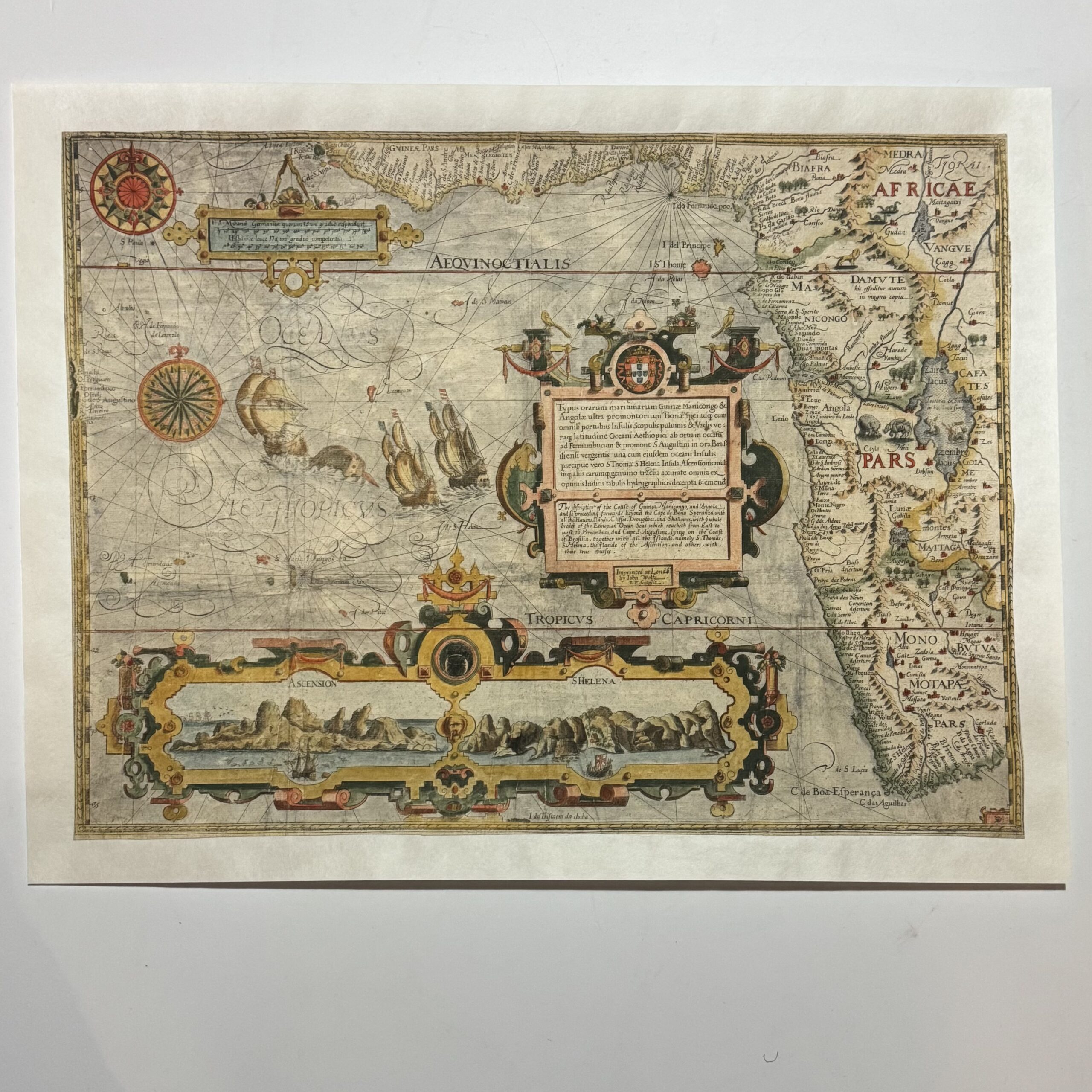
This map first appeared in Jan Huygen van Linschoten’s Itinerario, published in four parts in Amsterdam 1595-96 This is the English edition, published by John Wolfe in London in 1598 and it bears his imprint. Jan Huygen van Lindschoten, Dutch voyager, (1563 – 1611) entered the service of the Archbishop of Goa, and accompanied him to the Indies. In 1589 he returned to Holland, and there he wrote a History of his Travels. This was illustrated with maps and views, etc. by the van Langrens, a famous family of engravers and globe makers of Dutch origin, who worked in the 16th and 17th centuries. Linschoten was also active in the Dutch attempt to find a North East Passage, sailing with Barents in his Arctic expedition of 1594. This, the Western section, Typus orarum… is a maritime map of the coast from Guinae round the Cape to Rio do Infante, and extending inland as far as Lake Zaire (complete with mermaid sirens) the Kingdom of Monomotapa and his capital on the Rio de Spirito Santo (Zambesi). Heavily ornamented title in Latin and English within a large cartouche surmounted by the arms of Portugal. The scale of miles is likewise ornamented and a large cartouche along the bottom depicts perspective views of Ascension and St. Helena in two compartments. The sea is covered with rhumb lines and the space that is left is filled with two large compass roses, sailing ships and sea monsters. J. Huygen van Lindschoten’s “Itinerario, Voyage ofte Schipvaert an J. H. van L. naer Oost ofte Portugaels Indien, published in four parts, Amserdam Corn. Claesz. 1955-6. There were later Dutch editions in 1605, 1614, 1623 & 1644, Latin edition in 1599, French editions 1610, 1619, 1638 and an English edition of the maps only in 1598. Bibliography Tooley, R. V., Collector’s Guide to Maps of the African Continent and Southern Africa, Carata Press, 1969, pp.67 Condition: Good. Trimmed to the neat lines and laid on a fresh sheet of Japanese tissue. Original hand colouring. Some wear to the plate can be seen. A beautiful example of this rare, early map of the western part of the African continent. Size: (trimmed to) 51.8 x 38.5cm
Publisher: John Wolfe
Date Published: 1598
Publication Place: London
Dimensions: Framed: 131.5 x 60cm – Each: 53.5 x 39.5cm (Plate mark)