
Map to the scale of 1:3 500 000 showing South African, Rhodesian, Beira and Mashonaland, Caminho de Ferro de Lourenco Marques, Portuguese East Africa, Belgian Congo and Private Railways. Including those under construction at the time.
Publisher: Government Printing Works
Date Published: c.1950
First Edition: Yes
Condition: Good
Dimensions: 96 x 71cm
Additional information
| Weight | 400 g |
|---|
You Might Also Like
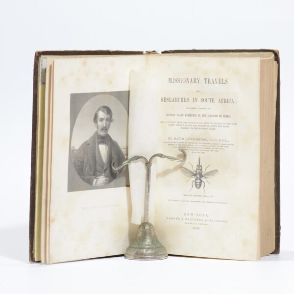
Missionary Travels and Researches in South Africa including a Sketch of Sixteen Years’ Residence in the Interior of Africa. – David Livingstone
$322.46
Add to basket
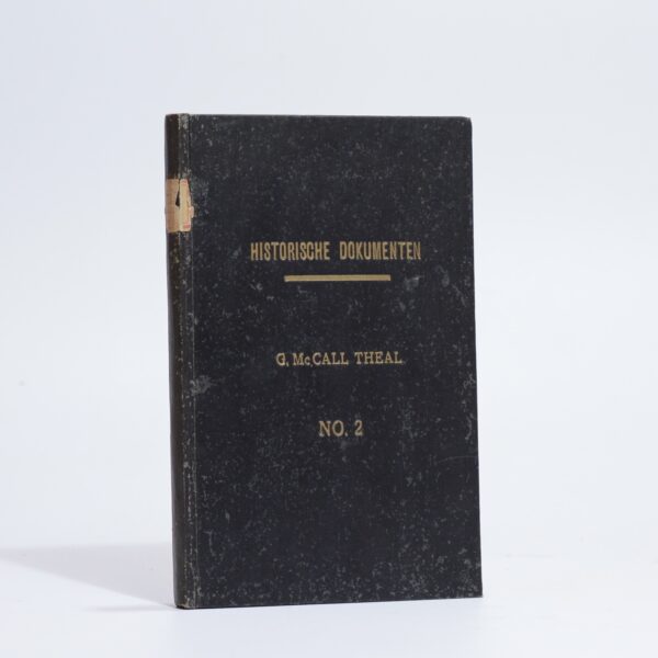
Belangrijke Historische Dokumenten. No. 2 – Theal, George McCall
$14.33
Add to basket
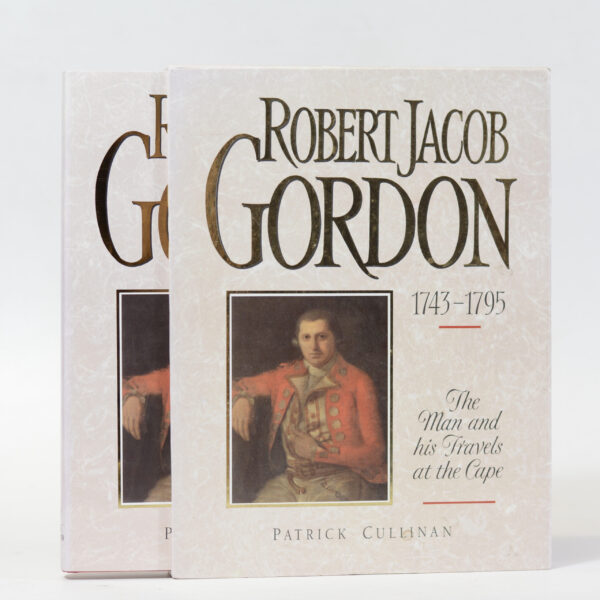
Robert Jacob Gordon 1743 – 1795. The Man and his Travels at the Cape – Patrick Cullinan
$60.91
Add to basket
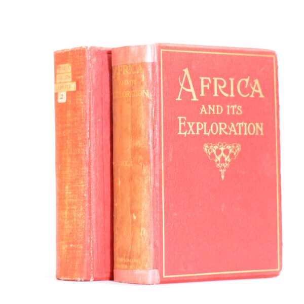
Africa and its Exploration as told by its Explorers. 2 Vols. – various
$143.31
Add to basket