

Fold-out Anglo Board War Map. Compiled for Field Intelligence Department, Cape Town, April 1900. Some discolouration marks, tide marks and foxing. Some ink writing and two small ink stains on the map. Cloth backed. Fragile at some of the folds with a few small closed tears. Condition: Good. Some edge-wear. Binding: Softcover. Cloth boards. Discolouration marks and handwriting on the front.
Publisher: Wood & Ortlepp
Date Published: 1900
Publication Place: Cape Town
First Edition: Yes
Condition: Good. Some edge=wear.
Binding: Softcover. Cloth boards. Discolouration marks and handwriting on the front.
Dimensions: 17.5cm x 11cm x 8cm
Additional information
| Weight | 250 g |
|---|
You Might Also Like
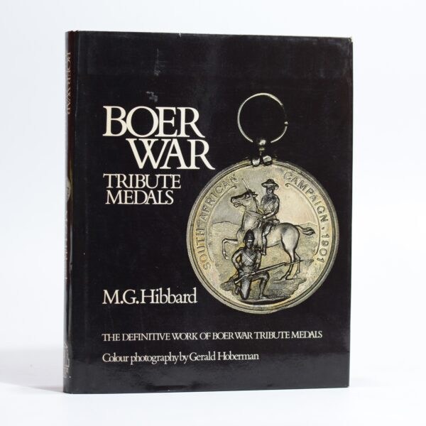
Boer War Tribute Medals – Hibbard, M G
R550.00
Add to basket

The War in South Africa. – Du Cane, Colonel Hubert (Transl)
R2,145.00
Add to basket

War Letters to T.H.W. from South Africa 1899 – 1902. E.H.W. – Holt-Wilson, Clemency
R440.00
Add to basket

Slagtersnek. Een Bladzijde uit de Voorgeschiedenis der Zuid Afrikaansche Republiek – Van Oordt, J W G
R605.00
Add to basket