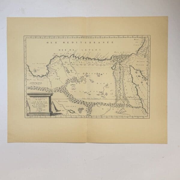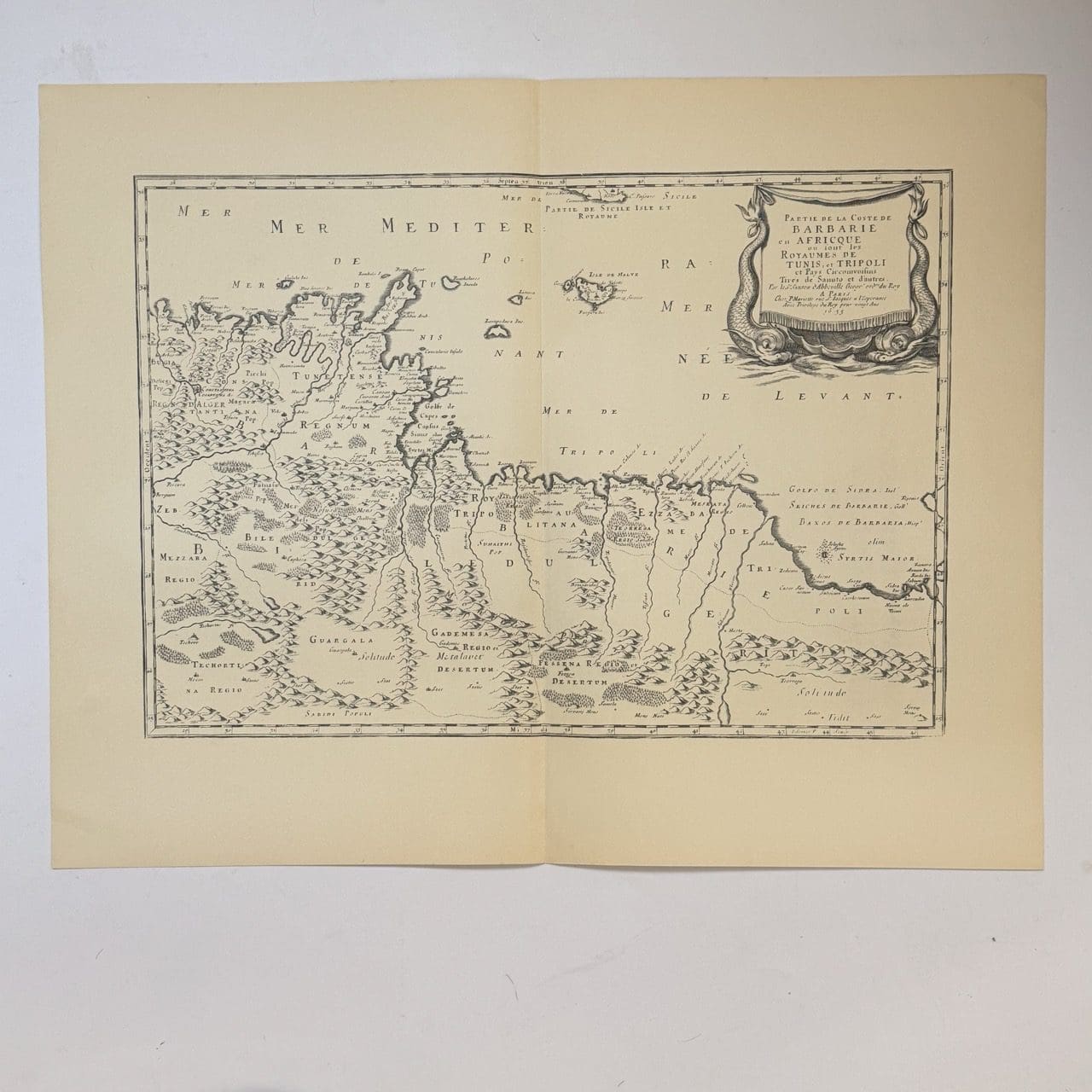
17th century French map of part of the coast of Barbary showing the kingdoms of Tunis and Trippoli. Originally published in 1655, this is a 20th century copy. Very good condition, sheet size: 66 x 52cm. Printed on good quality paper, with a central fold
Date Published: c.1950
You Might Also Like