
2/3 maps. Lacks the Bird’s-eye Map of War District; 4 plans of which 2 are loose, namely Street plan of Pietermaritzburg and Map of Fishing Districts. Map of Natal has a 28cm and a 5cm closed tear. Some toning, foxing and splitting to the front and rear end papers. Some light scattered foxing. 574 Pages. Lightly shaken. 1st Edition. Condition:Fair. Binding: Hardcover. Cloth boards with some insect nibbling, discolouration marks to edges. Some foxing.
Publisher: South African Railways Printing Works
Date Published: 1911
Publication Place: Durban
First Edition: Yes
Condition: Fair.
Binding: Hardcover. Cloth boards with some insect nibbling, discolouration marks to edges. Some foxing.
You Might Also Like
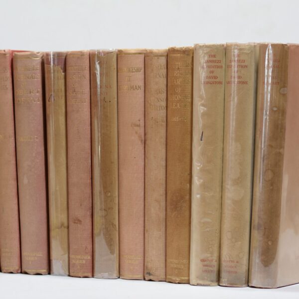
The Oppenheimer Series. 9 titles in 13 volumes. – Wallis, J P R (edited)
R7,480.00
Add to basket
The South African Library. Its history, collections and librarians 1818 – 1968 – C. Pama
R132.00
Add to basket
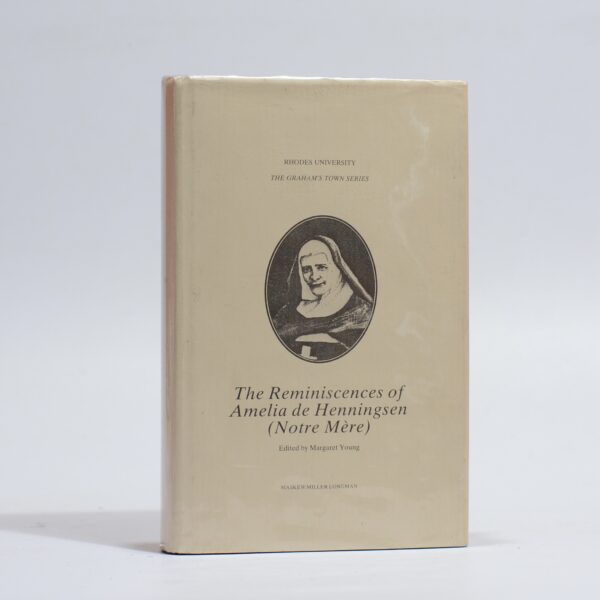
The Reminiscences of Amelia de Henningsen (Notre Mère). – Young, Margaret (ed)
R308.00
Add to basket
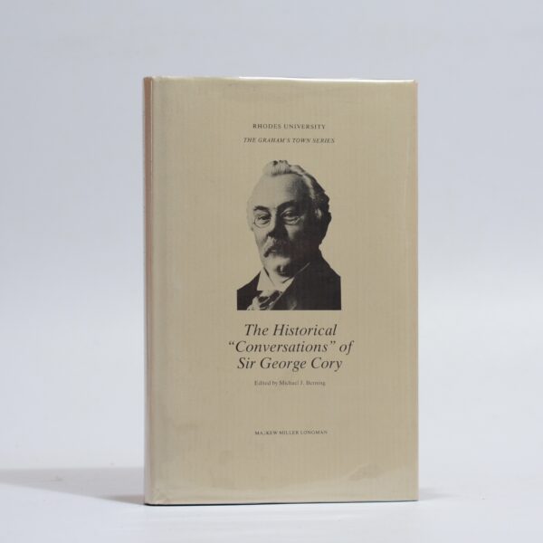
The Historical ‘Conversations’ of Sir George Cory – Berning, J.M. (ed.)
R308.00
Add to basket