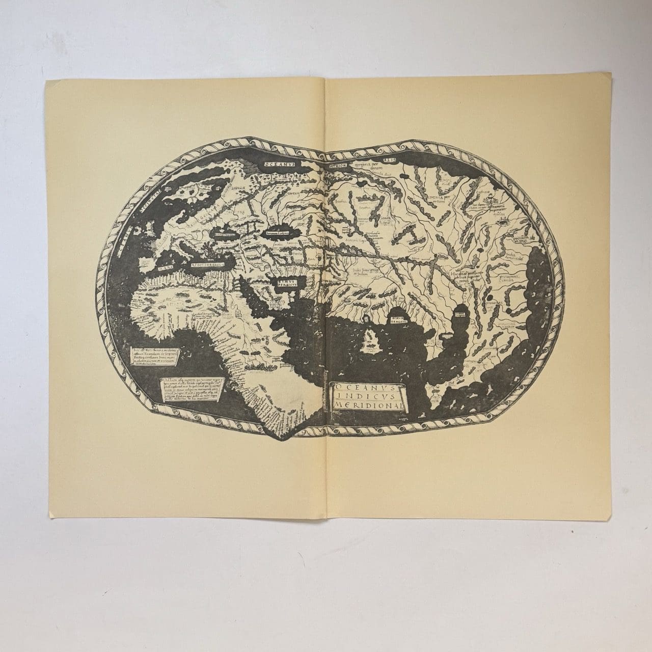
The first known map to show the Cape of Good Hope, discovered by Bartholemeu Dias in 1488. This is a 20th century copy. Very good condition, sheet size: 66 x 52cm. Printed on good quality paper, with a central fold
Date Published: c.1950
The first known map to show the Cape of Good Hope, discovered by Bartholemeu Dias in 1488. This is a 20th century copy. Very good condition, sheet size: 66 x 52cm. Printed on good quality paper, with a central fold
Date Published: c.1950


