
Showing the coast from the mouth of the Palmiet river to the west and past Dyer Island to the east. Towns of Caledon, Stanford, Hermanus, Hawston etc. Also showing all farm names and boundaries. The map has been varnished and this varnish has browned. Linen backed, lithographed map. Sheet size: 84 x 53.5cm
Date Published: circa 1895
Additional information
| Weight | 500 g |
|---|
You Might Also Like
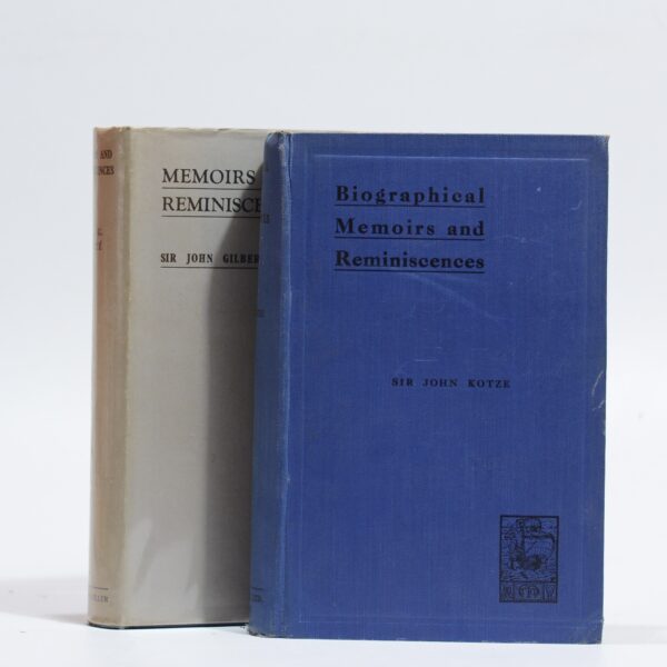
Biographical Memoirs and Reminiscences. (2 Vols) – Kotze, Sir John
R715.00
Add to basket
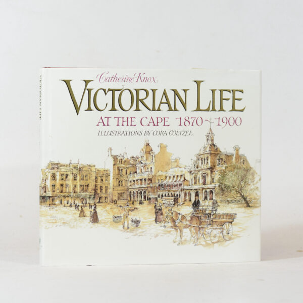
Victorian Life at the Cape 1870-1900. – Catherine Knox.
R385.00
Add to basket
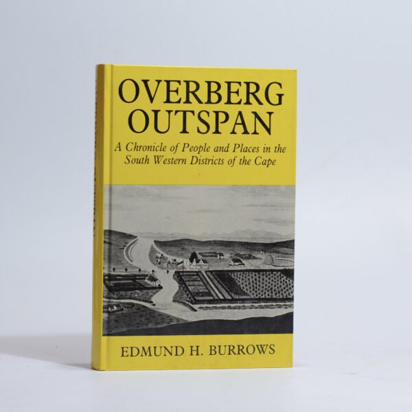
Overberg Outspan. – Burrows, Edmund H
R660.00
Add to basket
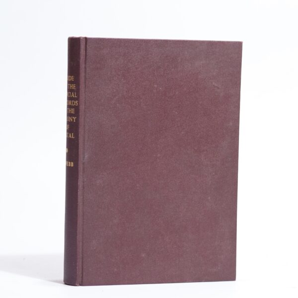
A Guide to the Official Records of the Colony of Natal – Webb, C de B.
R550.00
Add to basket