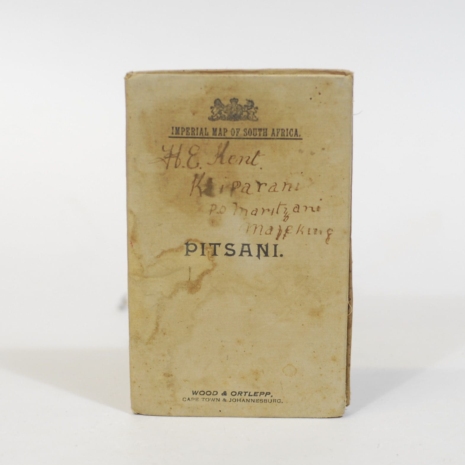

Compiled for the Field Intelligence Department (British) during the Anglo-Boer War. A scale of 3.94 miles to 1 inch. Showing the area to the west of Mafeking. All farm names are shown. Two small ink stains, linen backed folding map, 62 x 49cm.
Publisher: Wood & Ortlepp
Date Published: 1900
Publication Place: Cape Town
First Edition: Yes
Condition: Good.
Dimensions: 62 x 49cm
Additional information
| Weight | 400 g |
|---|
You Might Also Like
With the Boers in the Transvaal and Orange Free State 1880-81 – C.L. Norris-Newman
R385.00
Add to basket
After Pretoria: The Guerilla War. With the Flag to Pretoria. 13 of 72 parts –
R550.00
Add to basket
Recollections of a Boer Prisoner-of-War at Ceylon. – J N Brink
R660.00
Add to basket
A Soldier in South Africa. The Experiences of Eustace Abadie 1899 to 1902. – Spies, S B (Ed)
R990.00
Add to basket