

Folding topographical map showing farm borders, settlements and other interesting detail.50 x 64cm Part of a series of maps produced during the Anglo-Boer War
Publisher: Field artillery Dept.
Date Published: c.1900
Publication Place: Cape Town
You Might Also Like
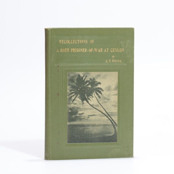
Recollections of a Boer Prisoner-of-War at Ceylon. – J N Brink
R660.00
Add to basket
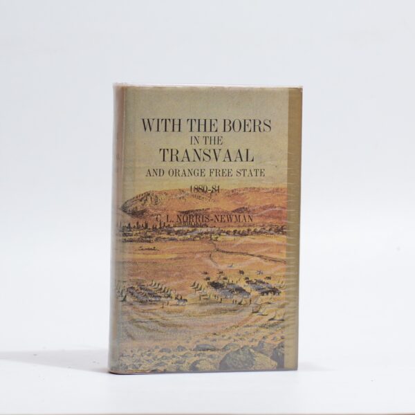
With the Boers in the Transvaal and Orange Free State 1880-81 – C.L. Norris-Newman
R385.00
Add to basket
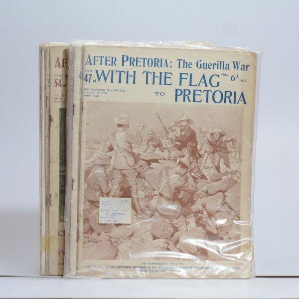
After Pretoria: The Guerilla War. With the Flag to Pretoria. 13 of 72 parts –
R550.00
Add to basket
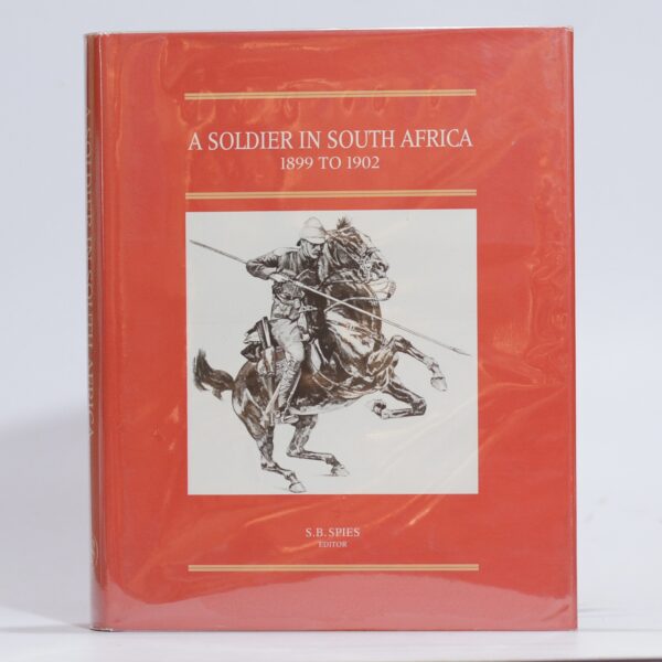
A Soldier in South Africa. The Experiences of Eustace Abadie 1899 to 1902. – Spies, S B (Ed)
R990.00
Add to basket