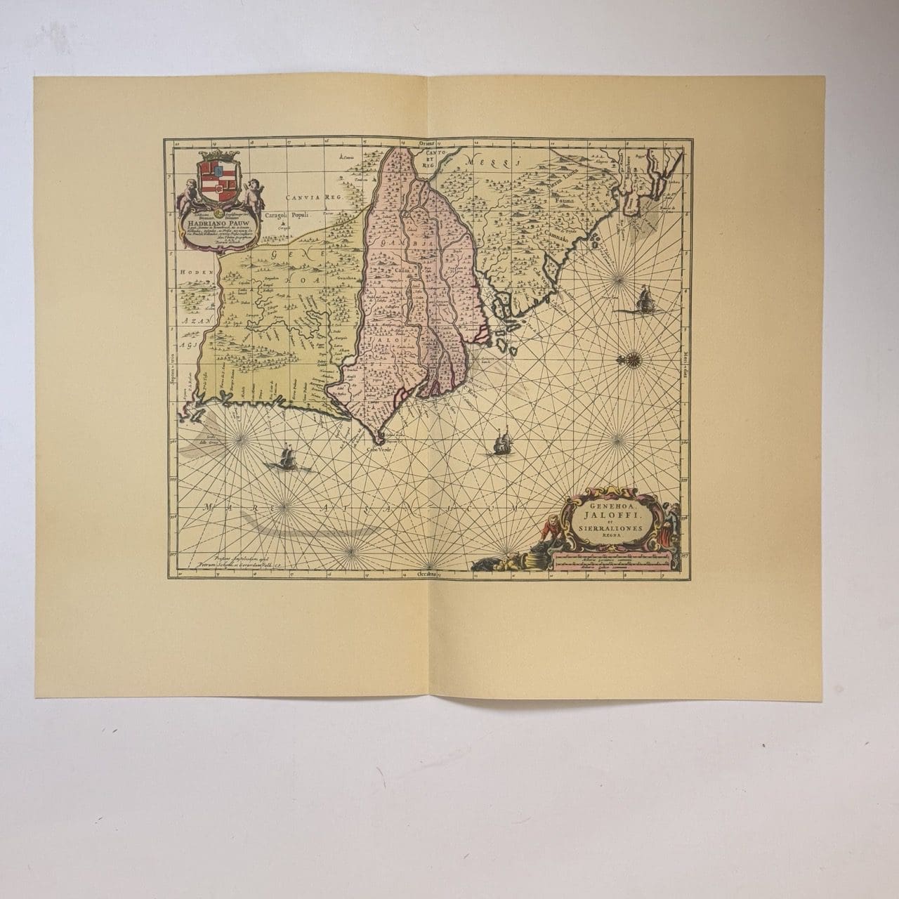
A nautical chart of the West African coast. Covering from Senegal to Sierra Leone, with a focus on the area around the Gambia River. Originally published c. 1665, this is a 20th century copy. Very good condition, sheet size: 66 x 52cm. Printed on good quality paper, with a central fold.
Date Published: c.1950


