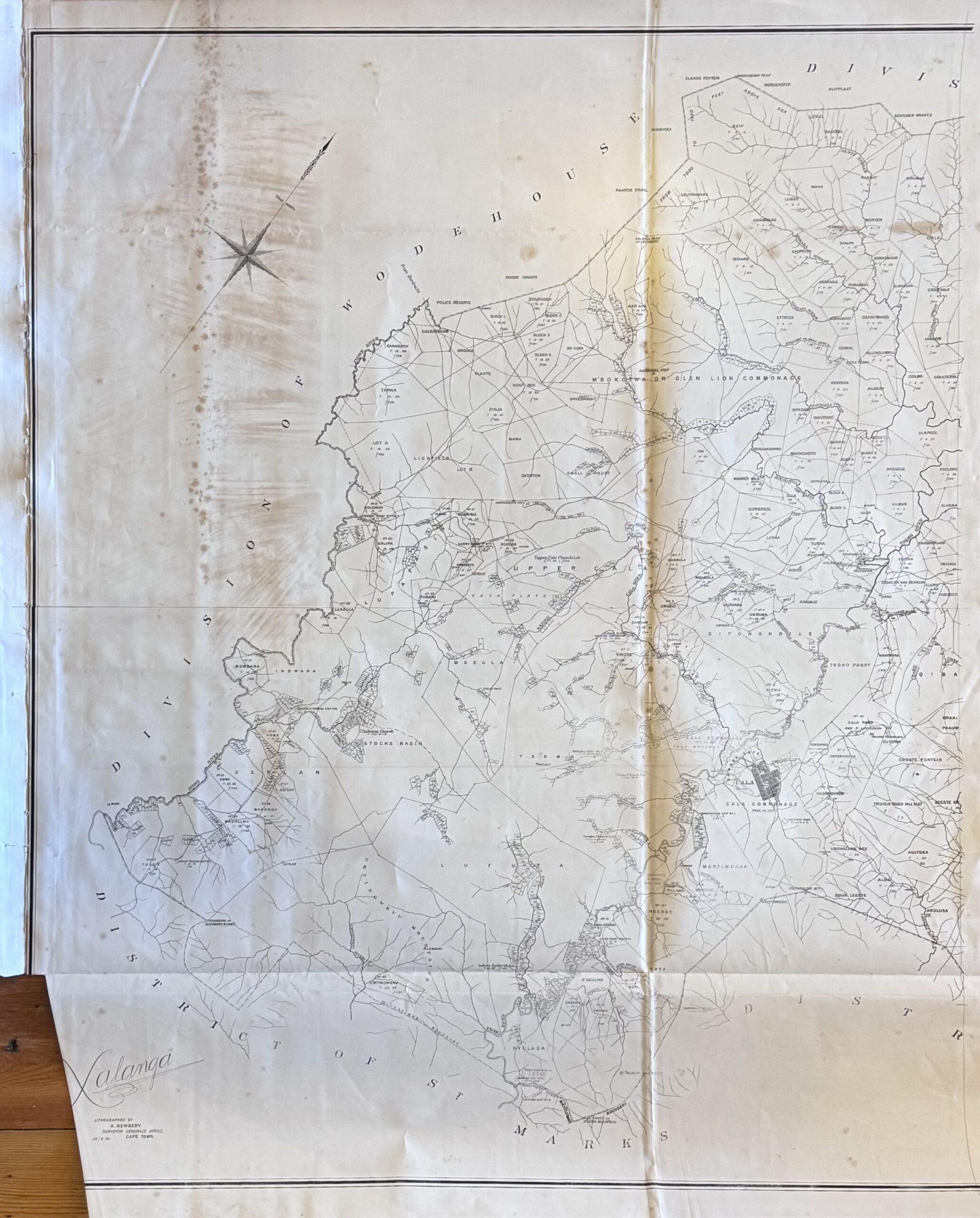
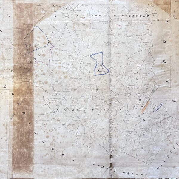
Divisional map of Xalanga district bounded by the Indwe river to the west with the Tsomo river and the village of Cala to the east. Indicates villages and settlements, trading stations, police posts, churches, outspans and rivers. Linen-backed. Dize 88 x 110cm. First Edition. Good. With some folds and age-toning and foxing. Left bottom corner clipped.
Publisher: Surveyor General’s Office, Cape Town
Date Published: 1891
Publication Place: Cape Town
First Edition: Yes
Condition: Good. With some folds and age-toning and foxing. Left bottom corner clipped.
Dimensions: 84cm x 103cm
You Might Also Like
A Traditional Way of Life. The Story of the Kalk Bay Fishermen. (Signed) – Stibbe, George andMos,s Iain
R1,210.00
Add to basket
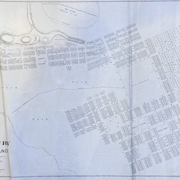
Plan of Salisbury, Mashonaland – Ross, Thomas
R6,600.00
Add to basket
Studies in the History of Cape Town (six volumes in seven parts) – Saunders, C. (Ed)
R1,045.00
Add to basket
Divisional Map Richmond – bound by the districts of Graaff Reinet, Middelburg, Murraysburg, Hanover –
R1,760.00
Add to basket