
Showing the lines of steam boat communications, soundings and &c.
Large hand-coloured steel engraved map. Good condition with clear unfaded colour. With insets of Harbour of Heligoland, Port Revel and Harbour of St Petersburg. Margins frayed, some age toning and a central fold. Engraved by Gellatly, Edinburgh. Sheet size: 454cm x 665cm
Publisher: George Philip & Son
Date Published: 1851
Publication Place: Liverpool
First Edition: Yes
Condition: Good
Dimensions: Sheet size: 454cm x 665cm
Additional information
| Weight | 1000 g |
|---|
You Might Also Like
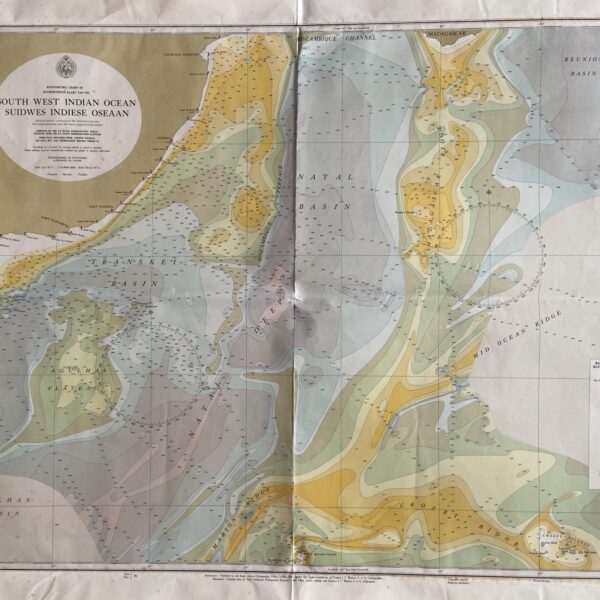
Chart of South West Indian Ocean. –
R880.00
Add to basket
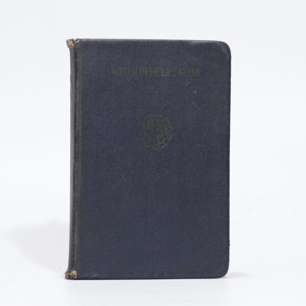
Watch Officer’s Guide – Captain Willson, Russel
R418.00
Add to basket
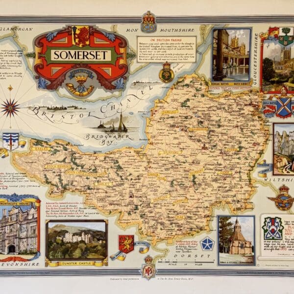
Somerset, county map. – Clegg, Ernest
R660.00
Add to basket

The Work of the Missionaries of Die Nederduits Gereformeerde Kerk van Suid-Afrika up to the Year 1910. – Turnbull, C E P (Comp)
R264.00
Add to basket