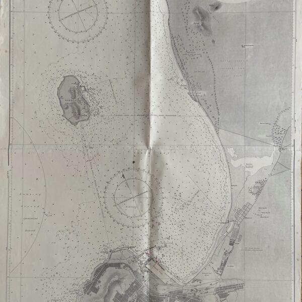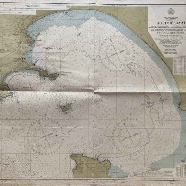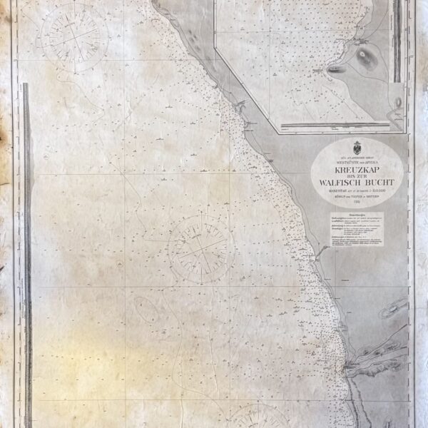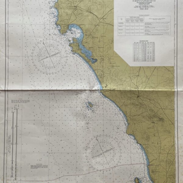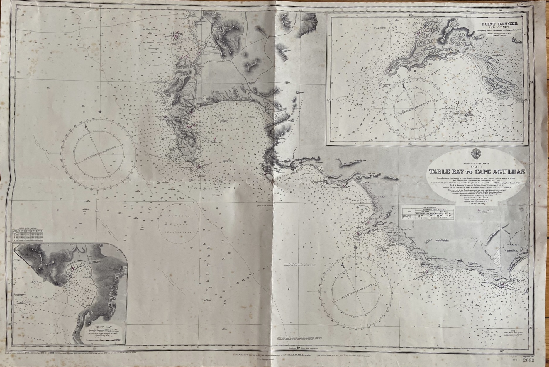
with insets of Danger Point and Hout Bay
Nautical chart of the south coast of Africa from Table Bay to Cape Agulhas, including Cape Town and the Cape of Good Hope. Complied from the Surveys Lieutenant Joseph Dayman 1853, Francil Skead, Master, 1860, and Navigating Lieutenant W.E Archdeacon, 1869. Folds, some age-toning and foxing. Condition: Good
Publisher: Admirality
Date Published: 1935
Condition: Good.
Dimensions: 70cmx102cm