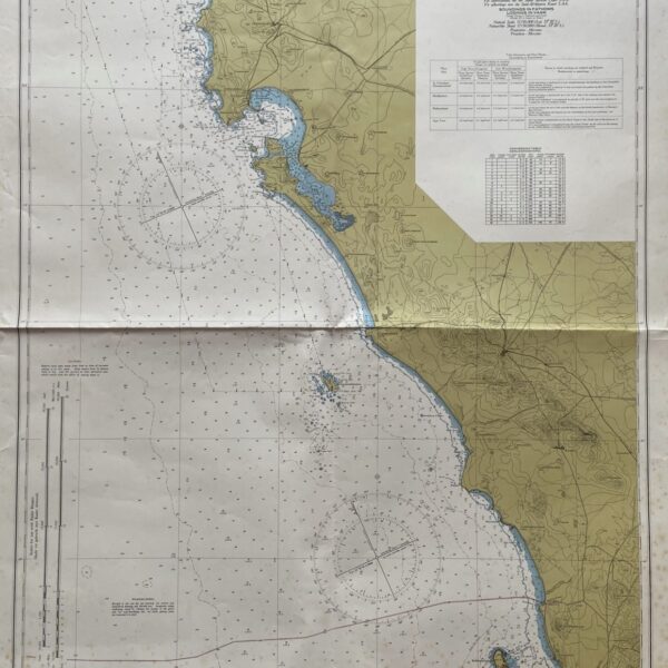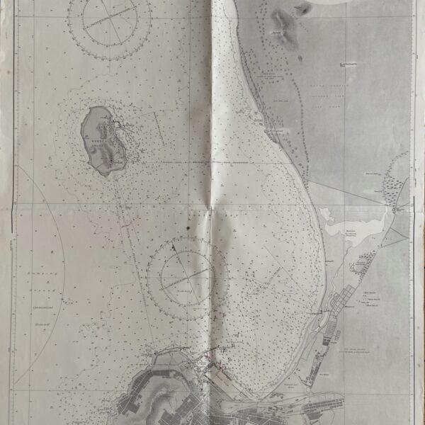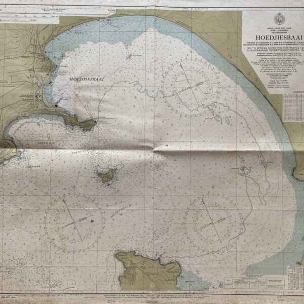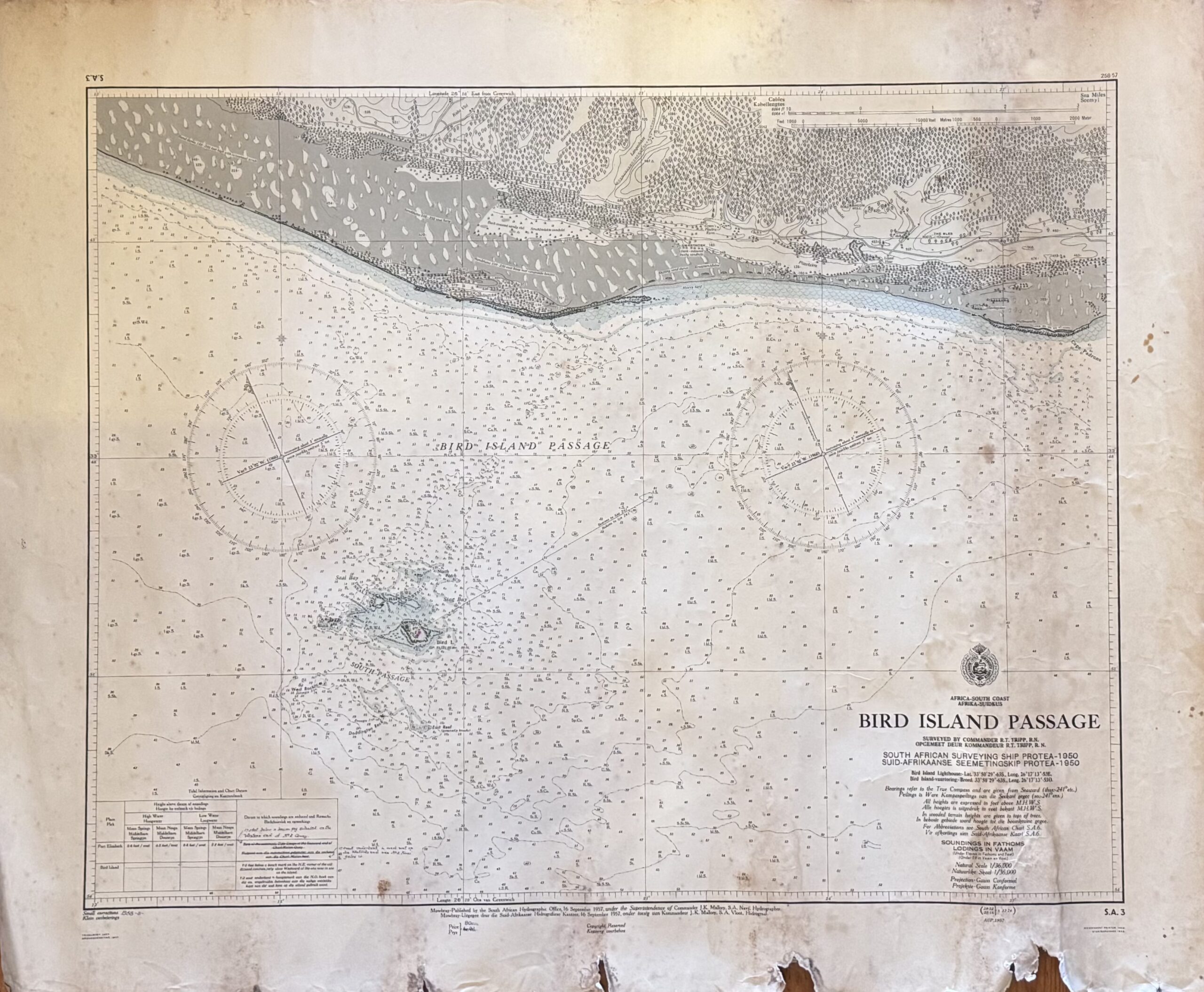
With Area Between Port Elizabeth and Bushman’s River
Navigational chart. From South African Naval Survey Ship S.A Protea, 1950. Margins chipped and torn. Folds and age-toning.
Publisher: S.A Navy
Date Published: 1957
Condition: Fair.
Dimensions: 71cm x 86cm