
depuis Cabo Frio ou Cap Froid par les 19 degrès de Latitude Merid. jusqu ‘à La Baye S. Blaise pour Servir aux Vaissaux de La Francais… par ordre de M. Rouille
Map of southwest coast of Africa from Cap Froid to the Bay of St. Blaise. Uncoloured. Small amount of creasing and three small spots of discolouration. Overall a very bright clean edition.With an inset: View of the Cape of Good Hope. Views of Cape Agulhas and False Bay Headland. Bellin became hydrographer to the King and a member of the Royal Society of London. He was commissioned to map all the known coasts of the world, which resulted in the ‘Hydrographique Français which appeared in two volumes in 1756-1765. This particular chart has large silhouettes of the coast on the upper right; namely ‘Vue du Cap de Bonne Esperance’, ‘Vue du Cap Falso, du Cap Des Eguilles et des terres qui sont entre deux,’ ‘Autre Vue du Cap Falso et du Cap des Eguilles.’ Cape Town, Constance (Constantia), Stellenbosch and Hangklip are accurately marked.
Publisher: J N Bellin
Date Published: 1754
Publication Place: Paris
First Edition: Yes
Condition: Very good
Dimensions: 890mm x 550mm
Additional information
| Weight | 1400 g |
|---|
You Might Also Like
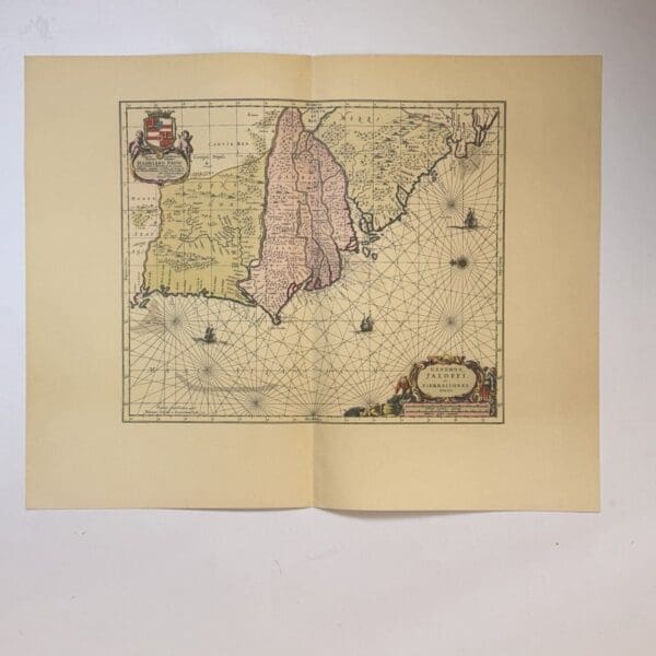
Genehoa, Jaloffi, et Sierraliones Regna – Jansson, Jan
R330.00
Add to basket

William Earl of Craven & the Art of Photography – Chanan, Noel
R308.00
Add to basket

Gedenkboek Uitgegeven door de Vereniging van Onderwijzers en Onderwijzeressen in Zuid-Afrika – Various
R825.00
Add to basket
Armas Insignias E Outros Objectos Nativos – None identified
R495.00
Add to basket