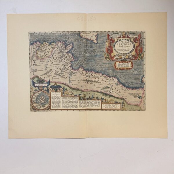
This map is one of the series of revised maps that L’Isle first issued in 1722. In this redrawn version, L’Isle makes further improvements. He separates the Senegal and Niger rivers, making the latter rise in the Kingdom of Tombut and flow eastwards to Lake Bournou. Inland from Zanzibar he inserts a large lake, Moravi (Nyasa), with the mountains of Lapata—the spine of the world. A typical L’Isle cartouche is drawn at the top right corner. (source Norwich, map#78)
Date Published: 1805
Condition: Very good, bright hand colouring, slight browning to the paper.
Dimensions: 62 x 48cm
Additional information
| Weight | 1400 g |
|---|