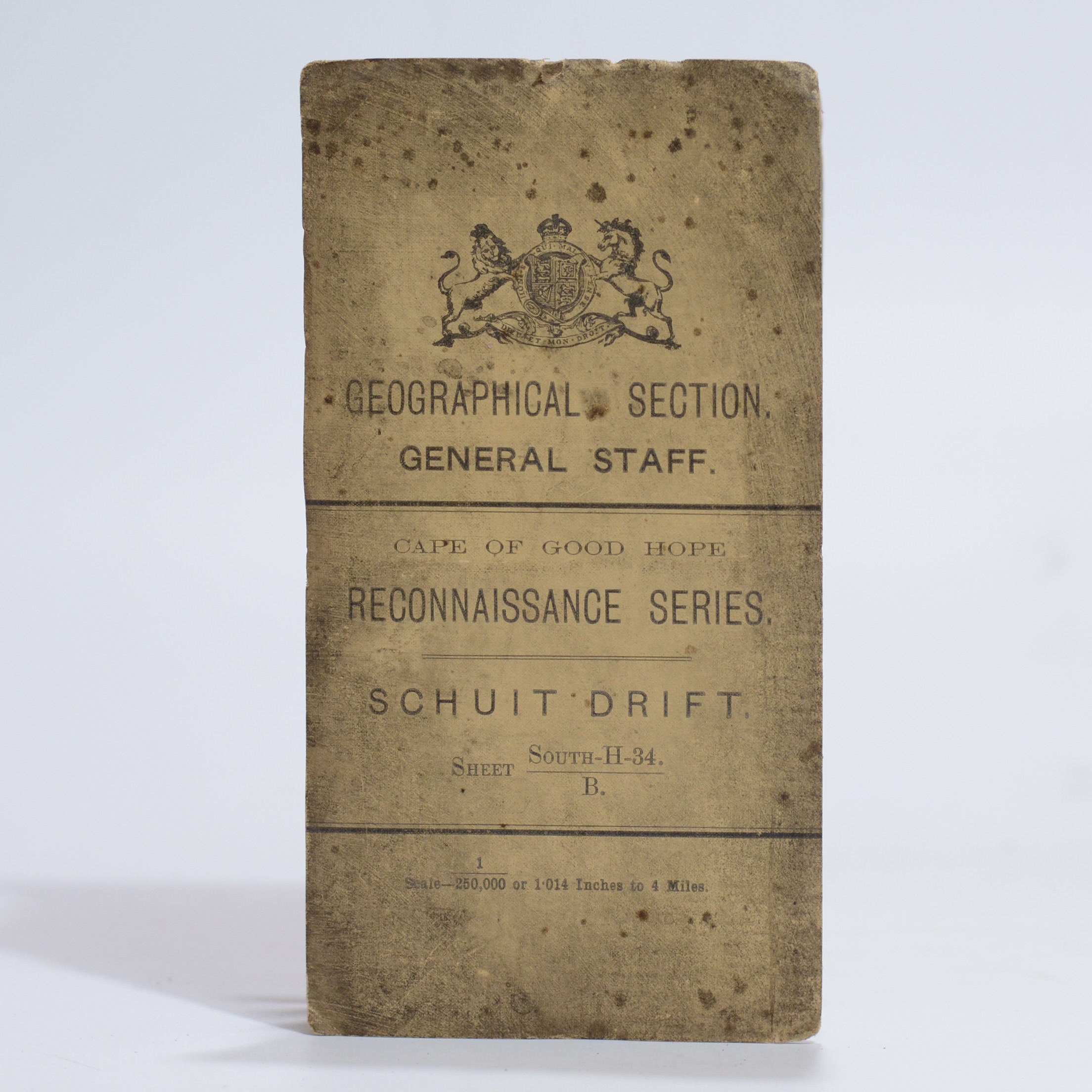
A detailed map at a scale of 1:250 000 showing the route of the Orange River, with an inset of Schuit Drift. This is the area in which South African troops entered SWA at the start of WWI in 1914. A key noting towns, villages with locations, boundaries, railways, roads frequented by wagons, unfrequented, bridle apaths, and steep or heavy requiring extra spans. Farm beacons and numbers, kraals and ruins, wind pumps, rivers, water pipes etc. Also a table of 7 halting places, with notes on availability of water, grazing, fuel and a column for remarks. Size: 60.5 x 63.5cm. First Edition. Condition: Very good. Outer cardwraps grubby.
Publisher: The War Office
Date Published: 1911
Condition: Very good.
Binding: Softcover.
You Might Also Like
Cape Colony Reconnaissance Series. Port Nolloth & O’Okiep. Sheet: 127-K & L –
$100.33
Add to basket
Cape Colony Reconnaissance Series. Port Nolloth & O’Okiep. Sheet: 127-K & L –
$100.33
Add to basket

Direcão dos Serviços de Obras Públicas E Transportes. Mapa Rodoviario. –
$50.16
Add to basket
Cape Colony Reconnaissance Series. Port Nolloth & O’Okiep. Sheet: 127-K & L –
$107.49
Add to basket