

Linen backed folding map produced during the Anglo-Boer War. Interesting topographical detail including farm boundaries. 60 x 49cm
Publisher: Intelligence Dept.
Date Published: 1901
Publication Place: Cape Town
You Might Also Like
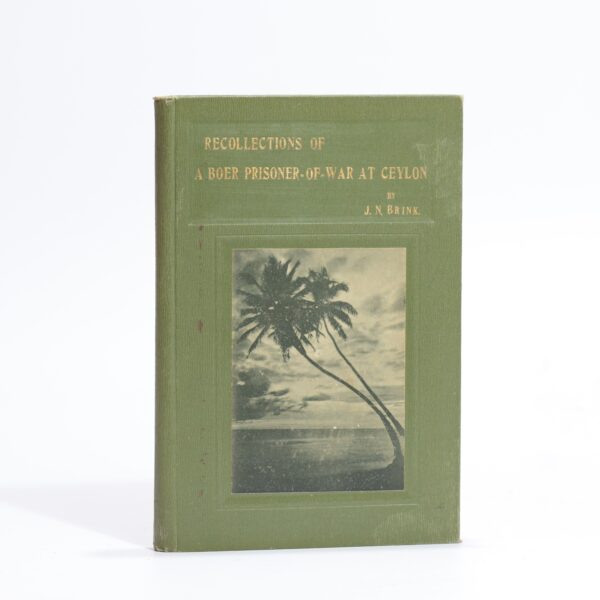
Recollections of a Boer Prisoner-of-War at Ceylon. – J N Brink
$42.92
Add to basket
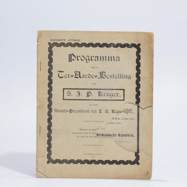
Programma van de Ter-Aarde -Bestelling van S.J.P. Kruger… –
$28.62
Add to basket
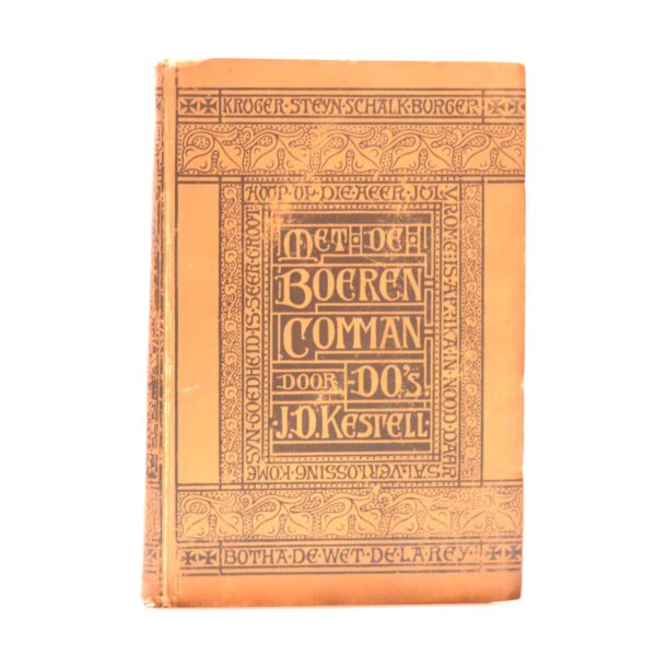
Met de Boeren-Commando’s – Kestell, J D
$39.35
Add to basket
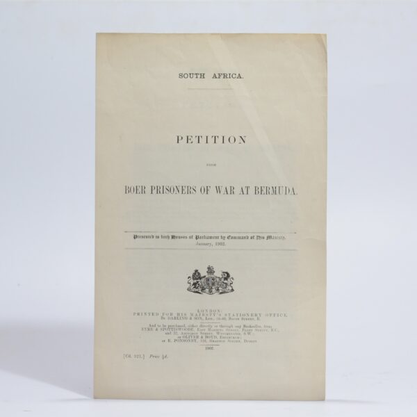
Petition from Boer Prisoners of War at Bermuda – Chonken, F. W. et al.
$64.39
Add to basket