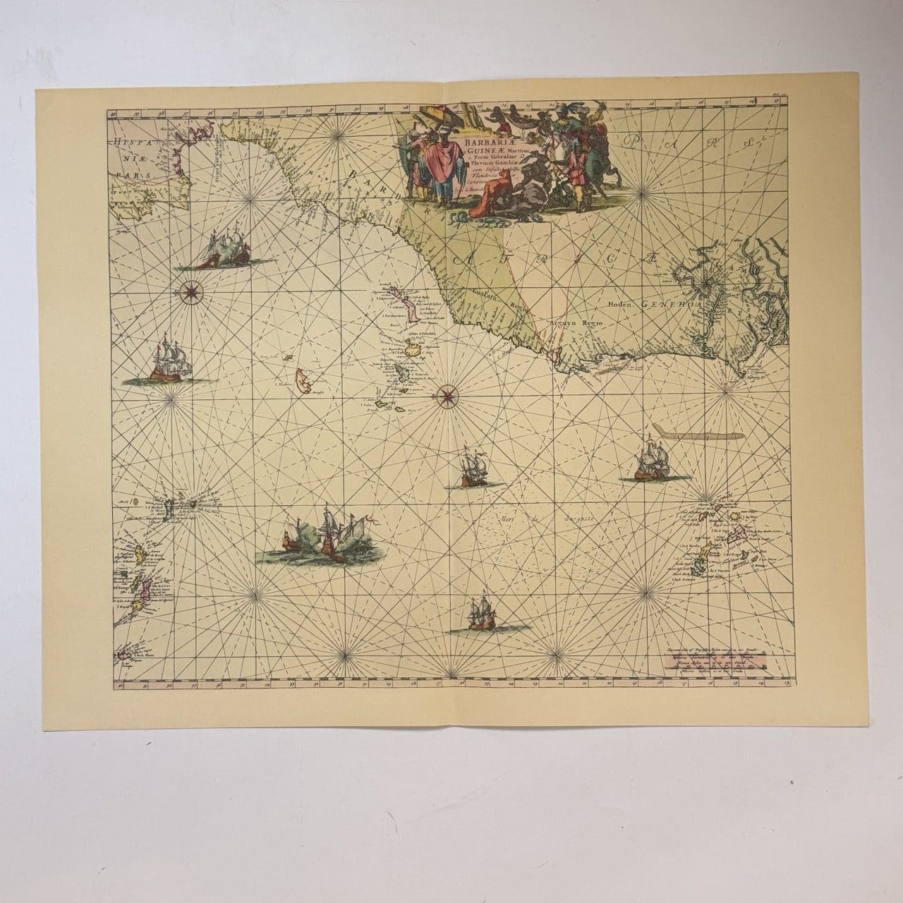
Dutch sea chart of the coast of West Africa. From the strait if Gibralta to the Cape Verde Islands. Originally published c. 1660, this is a 20th century copy. Very good condition, sheet size: 66 x 52cm. Printed on good quality paper, with a central fold.
Date Published: c.1950
You Might Also Like