
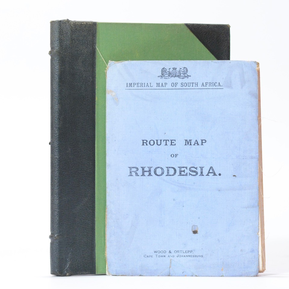
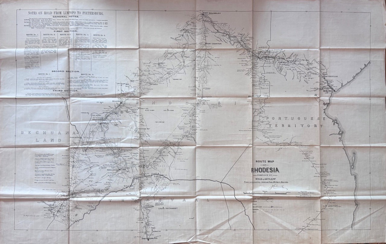
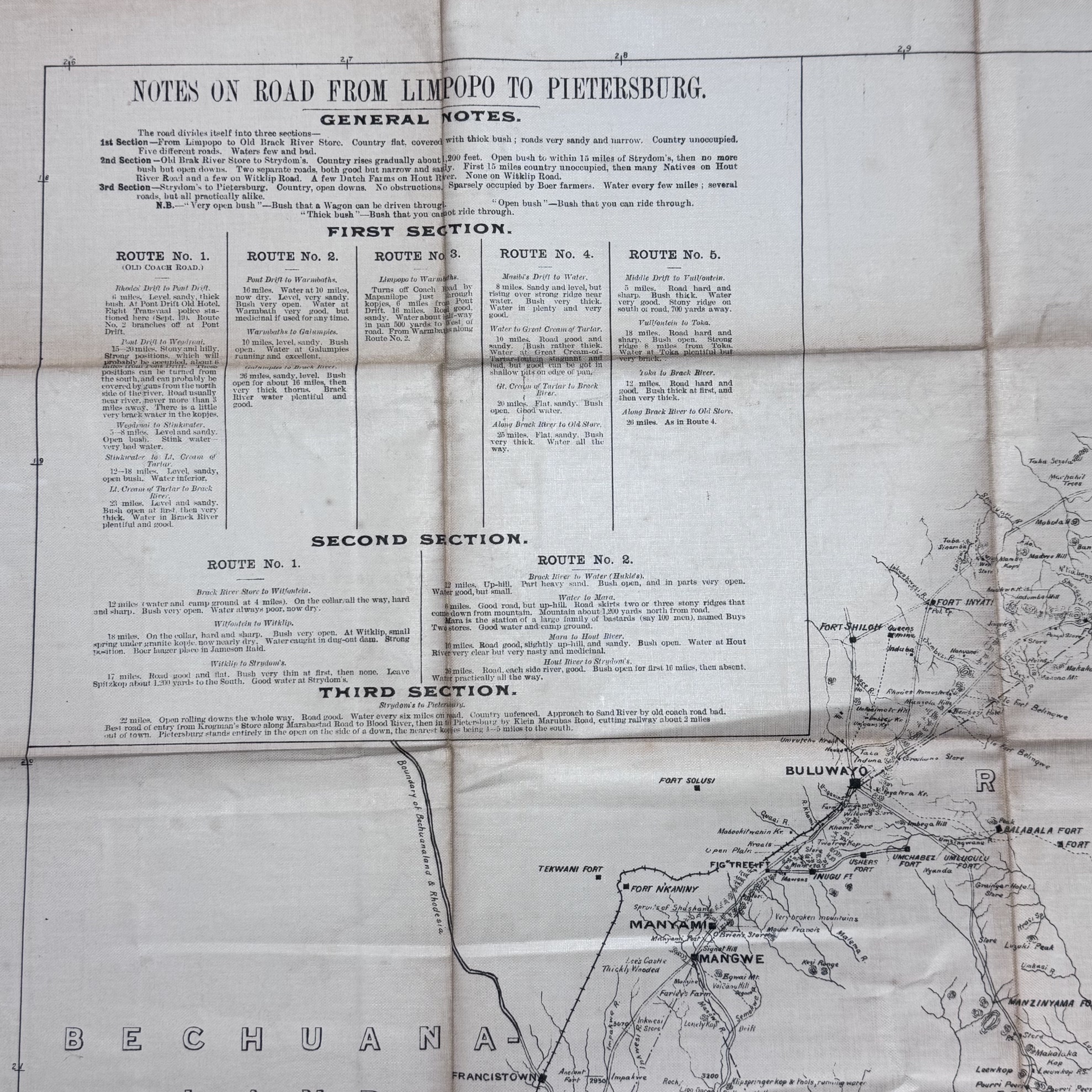
An extremely scarce map crammed with fascinating notes and directions to traverse a wild country. Eg. “From Limpopo to Old Brack River Store. Country unoccupied. Waters few and bad . A few Dutch farms can be on Hout River . Eight Transvaal police stationed here… sparsely occupied by Boer farmers… Pont Drift . strong positions . can probably be covered by guns from the north… Stink water… very bad water.” At this stage the railway line from the south only reaches as far as “Buluwayo” The “Old Buluwayo” or “Coach Road” meanders to the east of the railway line following it northwards. It crosses the Shashi River. It passes the Ramakwabane Store, Fort N’Kaniny, Fig Tree Fort, Two Tree Kop Store and many other landmarks before reaching “Buluwayo”. The line ends here but the Coach Road continues to Fort Salisbury passing Fort Shiloh, Fort Inyati, Ingwenia Fort, Kwekwe Fort and many rivers, trading stores and points of topographical interest. The Matoppo Mountains are to the east. There is a more direct coach route from Petersburg to Fort Salisbury via Tuli, Victoria and Fort Charter. Along the way is marked “thick Mopani bush, numerous koppies and rugged mountains, Matimpi’s Country, Zimbabwe Hill crowned by Ancient Citadel” and further topographical notes. A key on the left side of the map notes waterless areas; the length of some bridges; a telegraph line along the railway – 3 wires; horses can be detained at Palapwe siding. Water is plentiful at this siding On the eastern boundary of the map a rail link from Beira (Portuguese East Africa) on the Indian Ocean Coast has been established and reaches Fort Salisbury to the north west. The line passes from Fontesvilla to “Chemoyo” to Umtali via the Vumba Mountains to Marondella” to Fort Salisbury. Printed on silk, this folding map is 12 x 17cm when folded. Original blue wraps titled: “Imperial Map of South Africa”. Housed in a later cloth solander box. References: Rhodesian Railways. The Early Years. www.rhodesia.mc.uk Mapping South Africa by Andrew Duminy. Pp115 to 121 The National Archives, Kew, UK. discovery.nationalarchives.gov.uk
Date Published: 1899/1900
Publication Place: Cape Town
First Edition: Yes
Condition: Very good with some folds to the edges and age toning. Some wear and a small repair to the blue cloth outer folder.
Dimensions: 57 x 88cm
You Might Also Like
Grow Lovely, Growing Old – Green, Lawrence G
R198.00
Add to basket
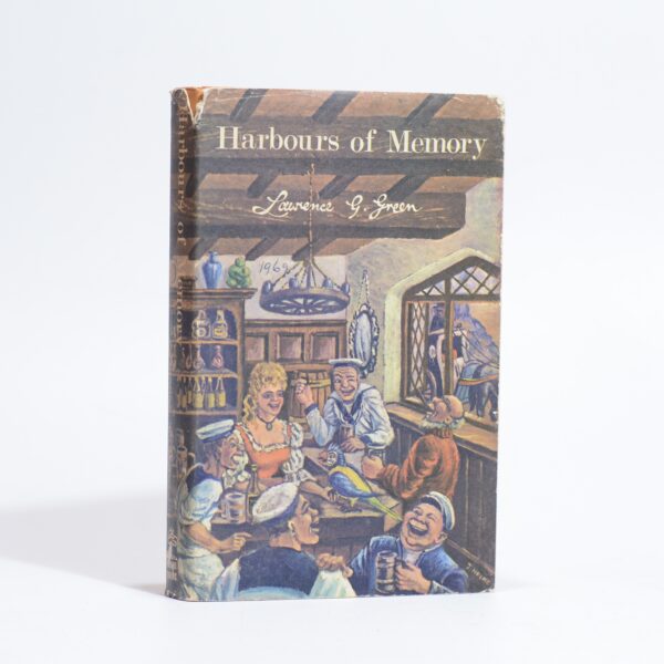
Harbours of Memory – Green, Lawrence G
R198.00
Add to basket
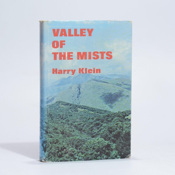
Valley of the Mists (Signed) – Klein, Harry
R440.00
Add to basket
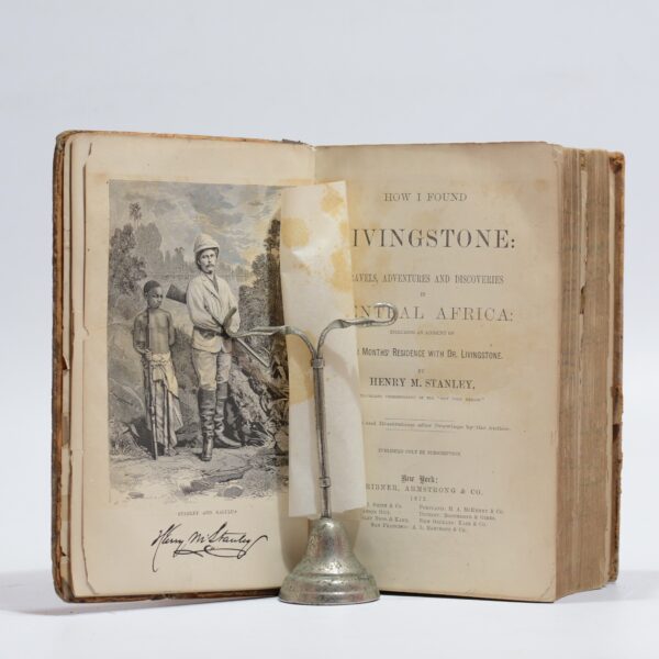
How I Found Livingstone: Travels, Adventures and Discoveries in Central Africa – Stanley, H.M.
R1,045.00
Add to basket