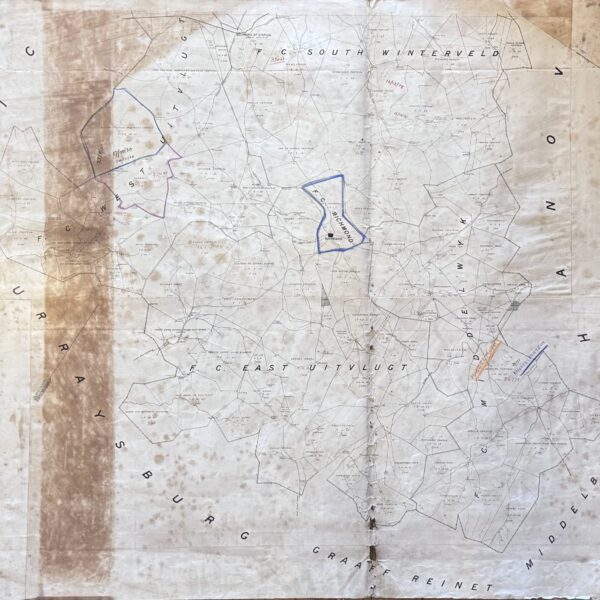
![District Map Calvinia - [Neuman, Thomas C. (comp.), Templer Horne, J (Surveyor-General)]](https://quaggabooks.co.za/wp-content/uploads/2026/04/309230.jpg)
Namakwa district of the Northern Cape. Shows the village of Brandvlei and, to the northwest, the Katkop village assosciated with Ixam (San) history as collected by Bleek and Lloyd. Indicates boundaries, commonages, and outspans. This is an individual Divisional Sheet that would have been used as reference for the 1895 Surveyor-General’s major map of the Colony of the Cape of Good Hope and Neighbouring Territories. The large wall map was at a smaller scale of 1: 800 000. Linen backed. Some folds and age-toning. Conditon: Good.
Publisher: Surveyor’s Office
Date Published: 1890
Publication Place: Cape Town
Condition: Good.
Dimensions: 87cm x 117cm
You Might Also Like
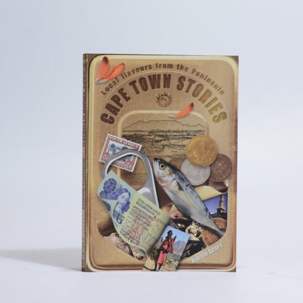
Cape Town Stories. – Barnard, Madeleine
R220.00
Add to basket
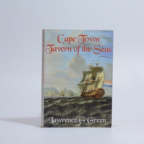
Cape Town Tavern of the Seas – Green, Lawrence G
R330.00
Add to basket
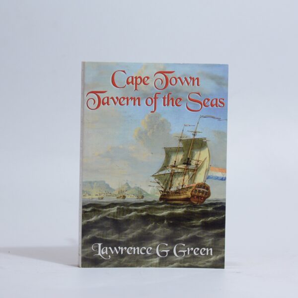
Cape Town Tavern of the Seas – Green, Lawrence G
R330.00
Add to basket
Divisional Map Richmond – bound by the districts of Graaff Reinet, Middelburg, Murraysburg, Hanover –
R1,760.00
Add to basket