![Divisional Map of the District of Calvinia - [Neuman, Thomas C. (comp.), Templer Horne, J (Surveyor-General)]](https://quaggabooks.co.za/wp-content/uploads/2026/04/309139.jpg)
![Divisional Map of the District of Calvinia - [Neuman, Thomas C. (comp.), Templer Horne, J (Surveyor-General)] - Image 2](https://quaggabooks.co.za/wp-content/uploads/2026/04/309139_2.jpg)
Showing the Orange river as the northern boundary. Onseep kans to the west with “German Protectorate” over the river. Also Bechuanaland and Carnarvon. Showing farm names, numbers and boundaries and Crown Land. Scale given at 1200 Cape roods to 1 English inch. This is an individual Divisional Sheet that would have been used as reference for the 1895 Surveyor-General’s major map of the Colony of the Cape of Good Hope and Neighbouring Territories. The large wall map was at a smaller scale of 1: 800 000 Condition: Good. Some mild foxing and creases. some chipping and loss to the top and bottom edges.
Publisher: The South African Association
Date Published: 1890
First Edition: Yes
Condition: Good
Dimensions: 124 x 88cm
You Might Also Like
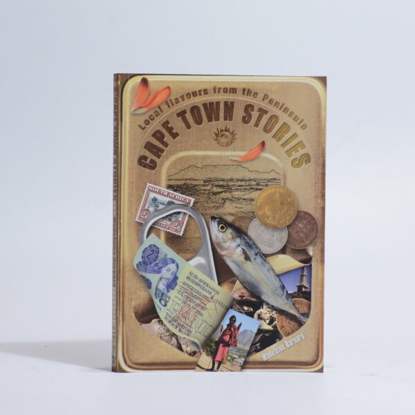
Cape Town Stories. – Barnard, Madeleine
R220.00
Add to basket
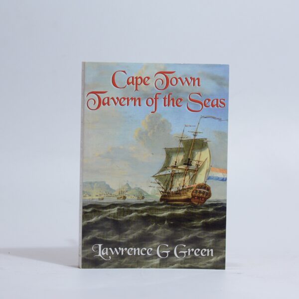
Cape Town Tavern of the Seas – Green, Lawrence G
R330.00
Add to basket
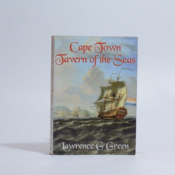
Cape Town Tavern of the Seas – Green, Lawrence G
R330.00
Add to basket
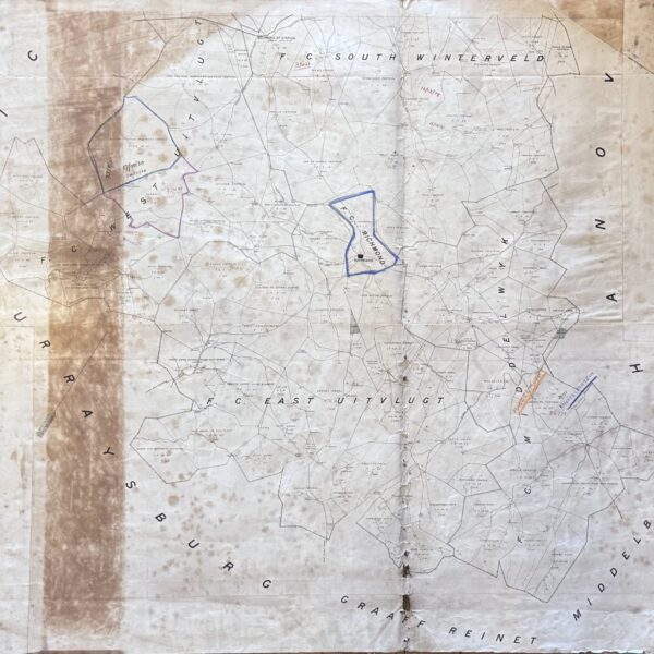
Divisional Map Richmond – bound by the districts of Graaff Reinet, Middelburg, Murraysburg, Hanover –
R1,760.00
Add to basket